
5 results - closest to you first 📍
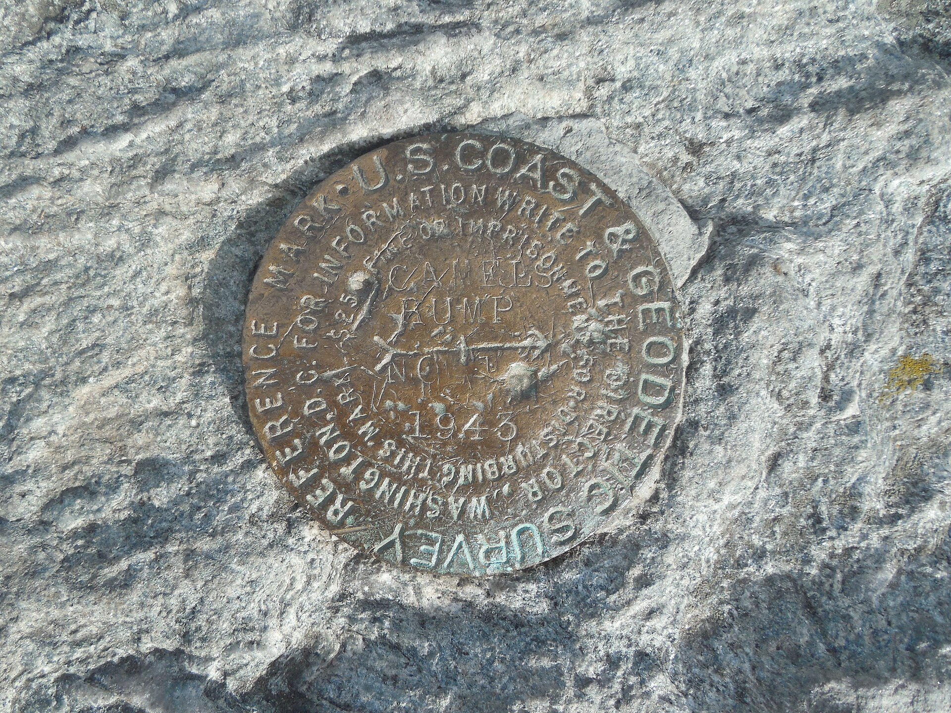
Monroe Trail ✓ Trusted
This 3.4-mile route leaves the Camel's Hump Road parking area in North Duxbury and climbs the mountain's eastern flank to Hut Clearing, where it joins the Long ...
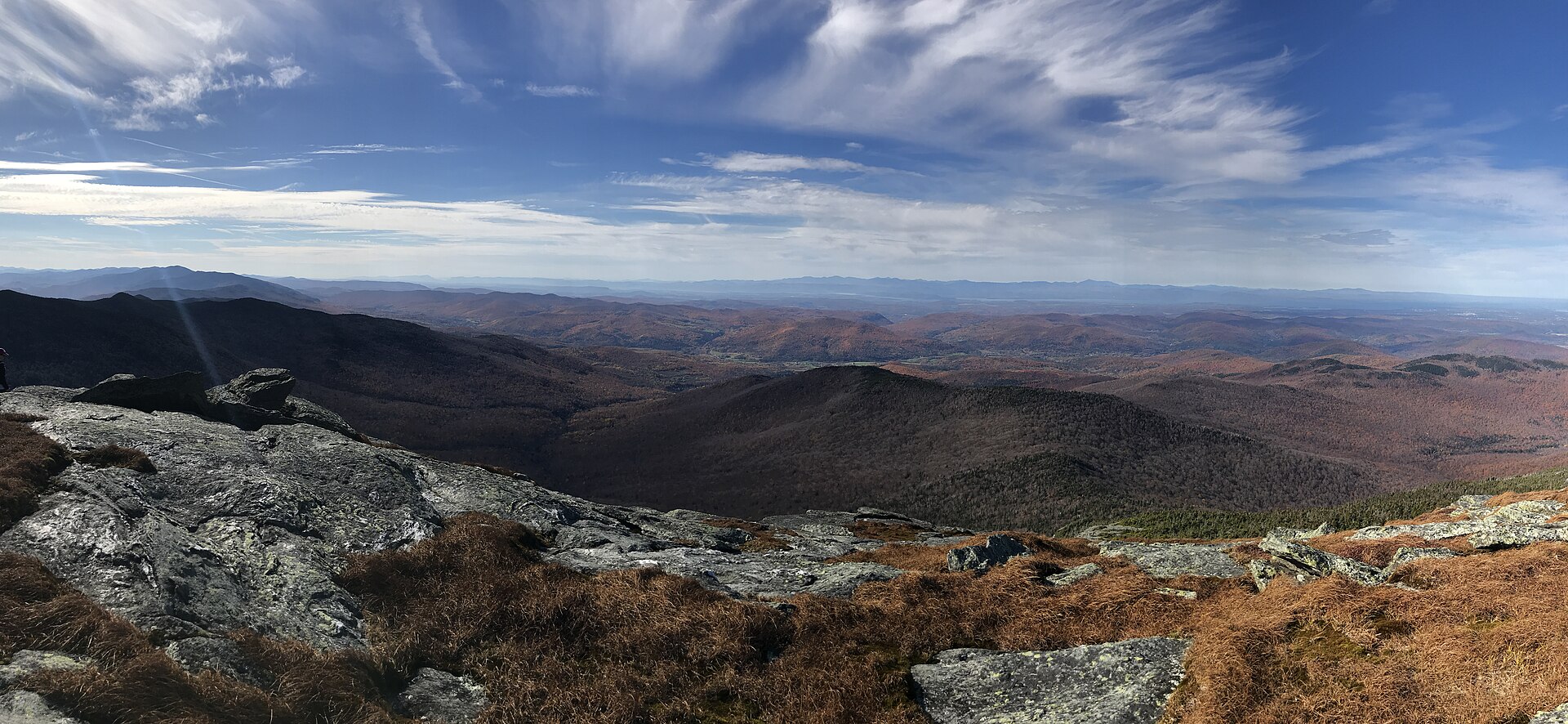
Camel's Hump View Trail ✓ Trusted
This universally accessible 0.8-mile trail starts from the parking lot 3.5 miles up Camel's Hump Road in Duxbury. Easy grades and a wide path make for a pleasan...
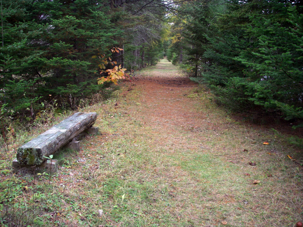
Cross Vermont Trail (Waterbury–Duxbury) ✓ Trusted
The Waterbury section of the Cross Vermont Trail follows tree-lined Main Street through the historic village, with the route signed along the sidewalk, then con...
Waterbury Center State Park Trails ✓ Trusted
Waterbury Center State Park offers three trails, led by an accessible shoreline path, eight feet wide with a grade, rest spots, and views across the reservoir. ...
Mount Hunger via Waterbury Trail ✓ Trusted
The Waterbury Trail climbs through C.C. Putnam State Forest to the summit of Mount Hunger, turning to open rock that requires scrambling near the top. The most ...
Looking elsewhere? ← Pick another destination