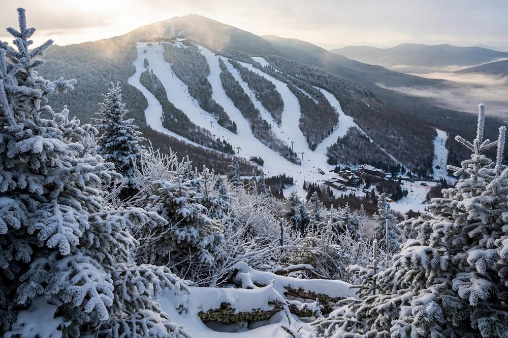
5 results - closest to you first 📍
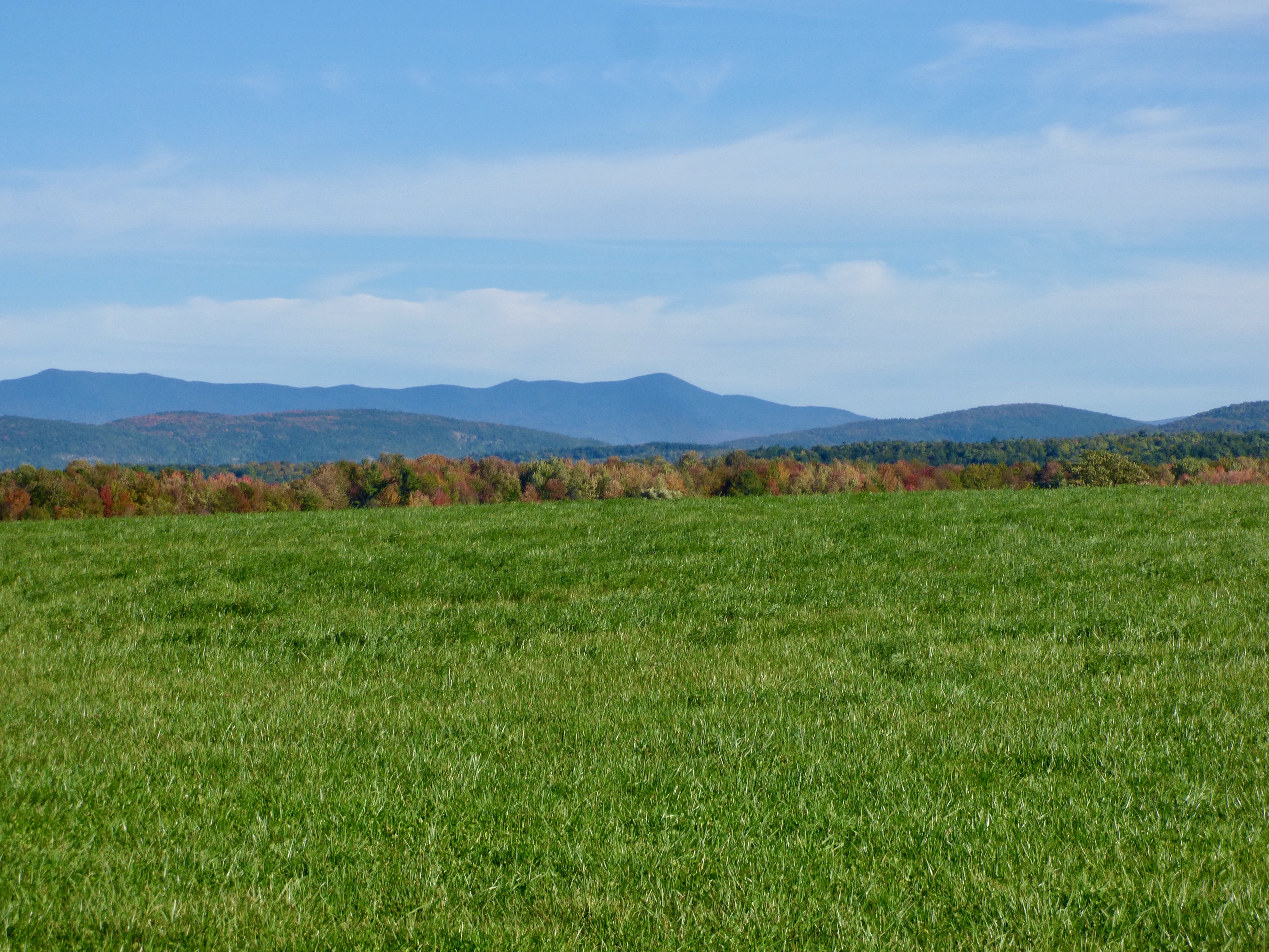
Mount Abraham via Battell Trail (Lincoln) ✓ Trusted
The Battell Trail offers a western approach to Mount Abraham, Vermont's fifth-highest peak, intercepting the Monroe Skyline ridgeline. This advanced 2-mile rout...
Warren Falls (Green Mountain National Forest) ✓ Trusted
A heavily used observation site on the Green Mountain National Forest, Warren Falls pairs high cliffs and fast water with deep Mad River swimming holes. An easy...
Blueberry Lake Trail Network (Warren) ✓ Trusted
Designated an IMBA Model Trail-Gateway network, the 8.1 easy miles around Blueberry Lake welcome hikers, bikers, snowshoers, and skiers alike. Smooth beginner-f...
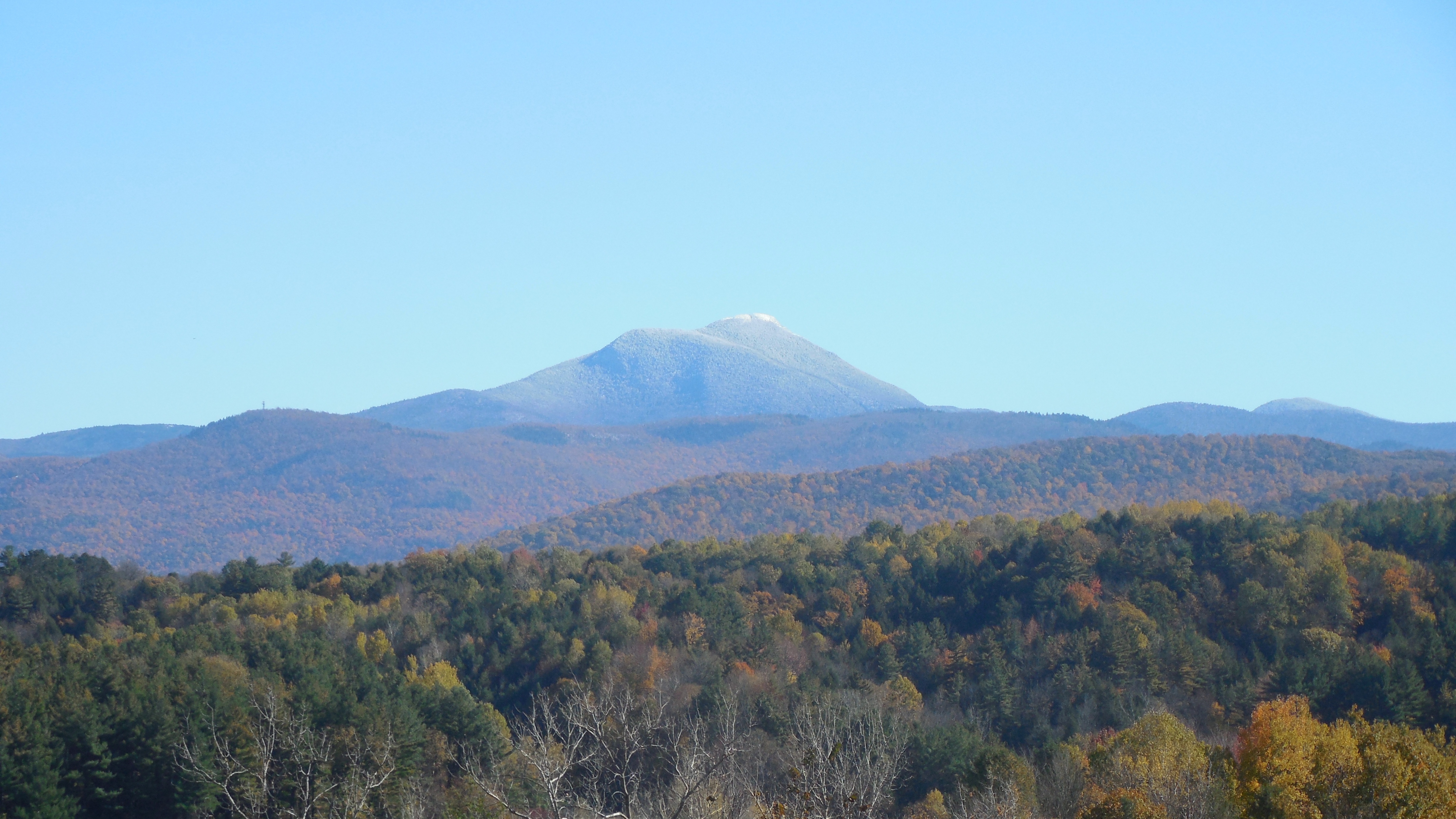
Camel's Hump via Burrows Trail (Camel's Hump State Park) ✓ Trusted
Vermont's most iconic summit profile draws hikers to Camel's Hump State Park, where trails climb through northern hardwood forest to an exposed alpine summit wi...
Scrag Mountain Town Forest Trails (Waitsfield) ✓ Trusted
Waitsfield's 750-acre town forest offers a moderate 1.7-mile trail network featuring waterfalls, headwater streams, and a high-elevation beaver pond. The Scrag ...
Looking elsewhere? ← Pick another destination