🌲 The Complete Vermont Guide
Every corner of the Green Mountain State 🗺️
🔍 Search all of Vermont
147 results - closest to you first 📍
Mile-Around Woods ✓ Trusted
Donated to the Fund for North Bennington in 1994, these woods hold stands of old timber and a circular carriage road laid out after the Civil War by Trenor Park...
Robert Frost Trail ✓ Trusted
Running two miles from Lake Paran to Route 7A, this trail crosses woods on the farm Robert Frost owned from 1920 to 1928, where he wrote 'Stopping by Woods on a...
Bald Mountain Trail (GMNF) ✓ Trusted
From the trailhead, this Green Mountain National Forest route passes under a powerline and through a tunnel beneath VT-279, follows an old woods road into the G...
Appalachian Trail/Long Trail to Harmon Hill ✓ Trusted
This white-blazed stretch of the Appalachian/Long Trail begins across Route 9 from its parking area and climbs steeply via rock staircases and switchbacks to th...
Woodford Trail (Woodford State Park) ✓ Trusted
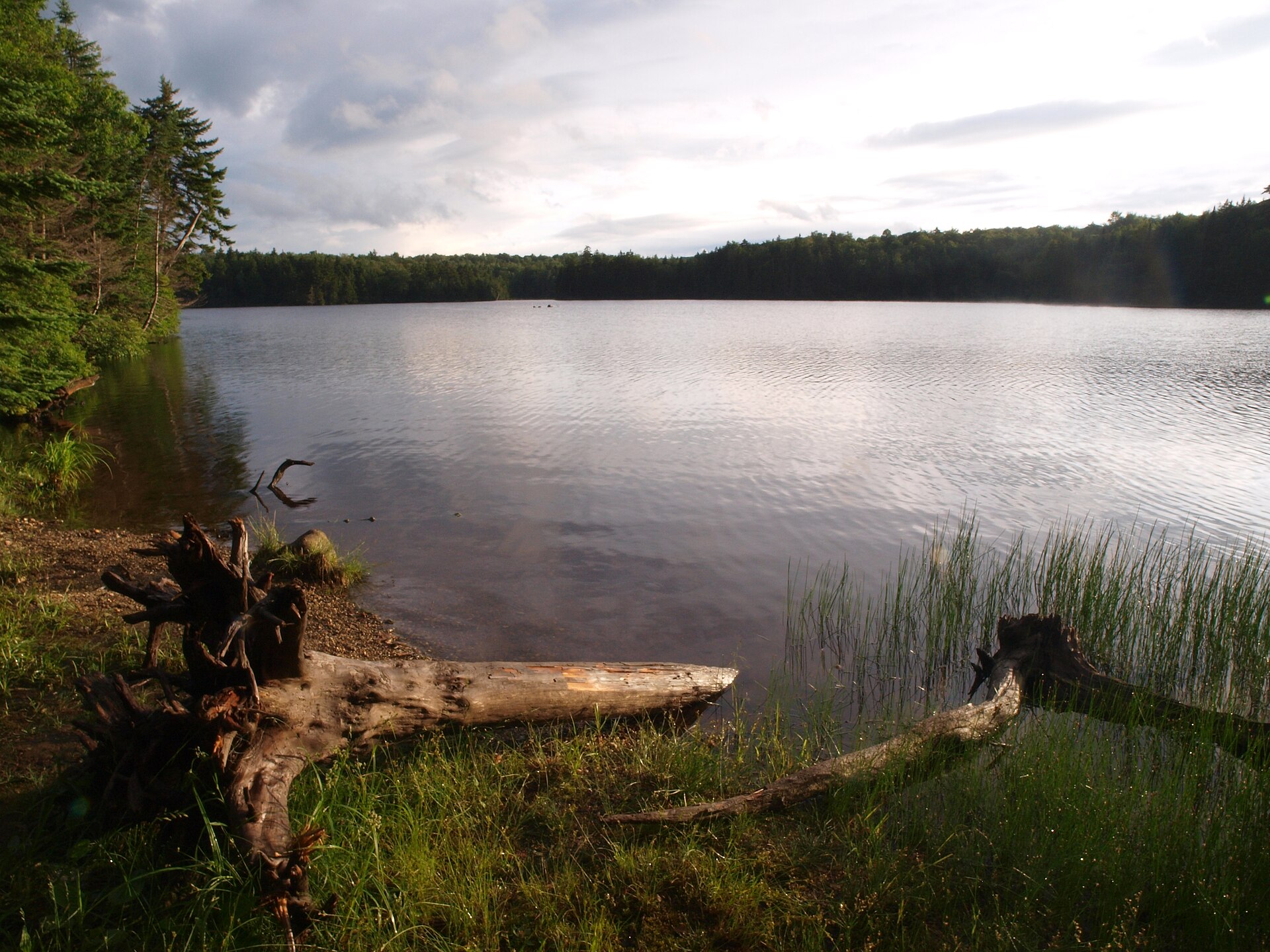
The Woodford Trail makes a 2.1-mile easy-to-moderate circuit around Adams Reservoir and the campground at Woodford State Park, passing through forest on the par...
Hildene Trails ✓ Trusted
About 12 miles of walking trails wind through Hildene's 412 acres, from woods to meadows, in every season. Paths on the lower property lead to Dene Farm and a 6...
Pond Loop at Equinox Preservation Trust ✓ Trusted
The easy 0.75-mile Pond Loop circles Equinox Pond on a level woods road through beautiful hardwoods in Manchester. Open to hikers, cross-country skiers, snowsho...
Red Gate Trail at Equinox Preservation Trust ✓ Trusted
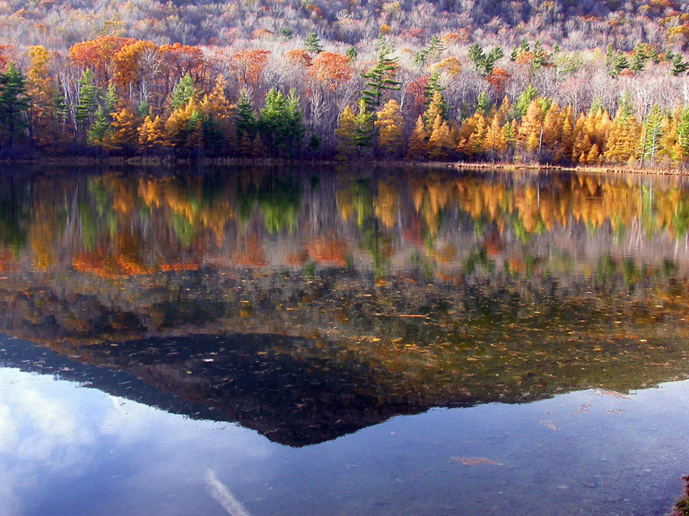
The 0.80-mile Red Gate Trail crosses between the Red Gate entrance and the Equinox Pond Loop on rolling woods roads. It makes a natural extension to the easy Po...
Lye Brook Falls Trail ✓ Trusted
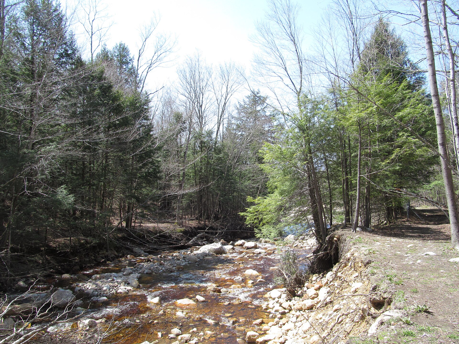
The blue-blazed Lye Brook Falls Trail runs 2.2 miles through heavily wooded Lye Brook Wilderness on the bed of a former logging railroad. It climbs a gradual sl...
Prospect Rock Trail ✓ Trusted
This moderate Green Mountain National Forest hike runs 3.5 miles round trip with 1,000 feet of elevation change, taking 2 to 3 hours. The blue-blazed trail foll...
Stratton Mountain via Long Trail (Stratton) ✓ Trusted
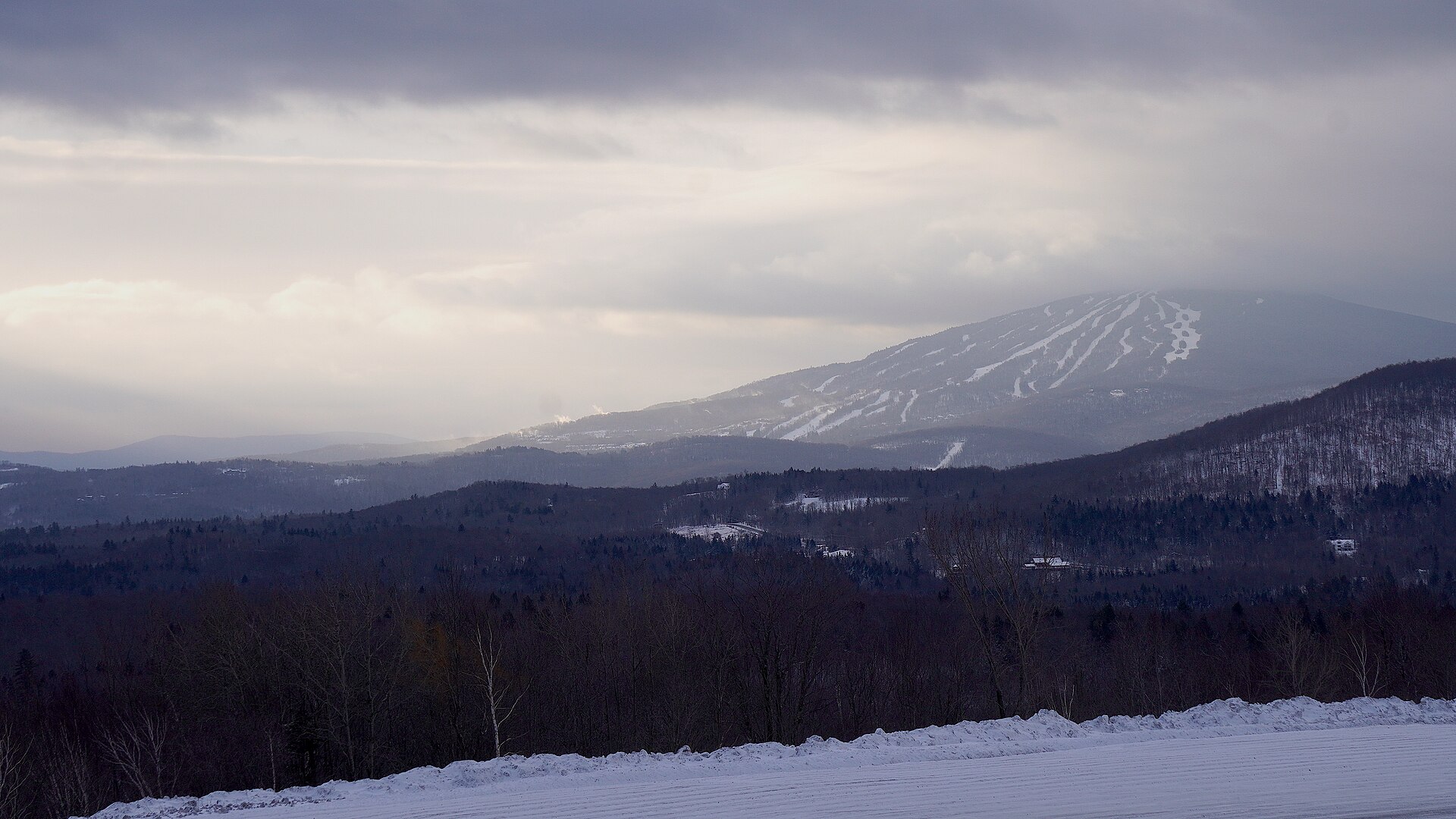
The Green Mountain Club's classic 7.6-mile round trip climbs 1,706 feet to southern Vermont's highest summit, rated difficult for its distance and rugged footin...
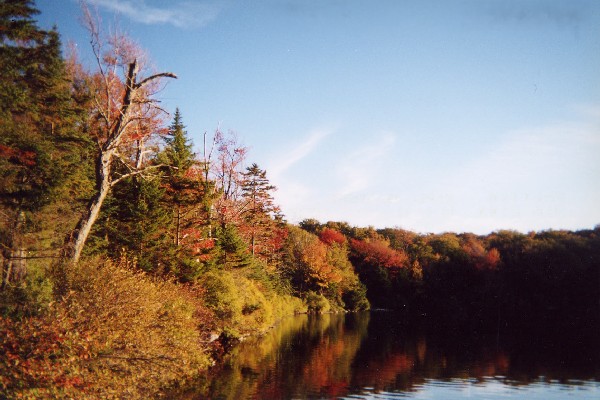
Stratton Pond Trail (Stratton) ✓ Trusted
This moderate 7.8-mile blue-blazed trail ascends gradually through mixed hardwood and softwood forest to remote Stratton Pond. Puncheon planking bridges wet str...
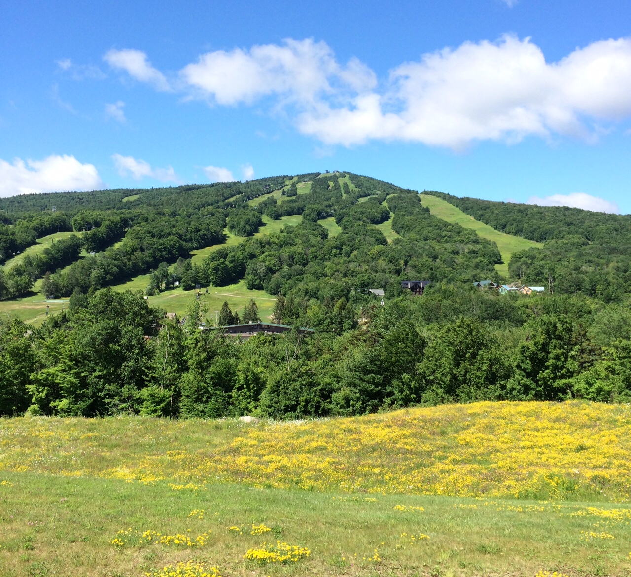
Haystack Mountain and Mount Snow via Deerfield Ridge Trail ✓ Trusted
A hard 17.7-kilometer out-and-back near Searsburg, this route climbs 649 meters from the Haystack Trailhead over Haystack Mountain and on to Mount Snow. The Hay...
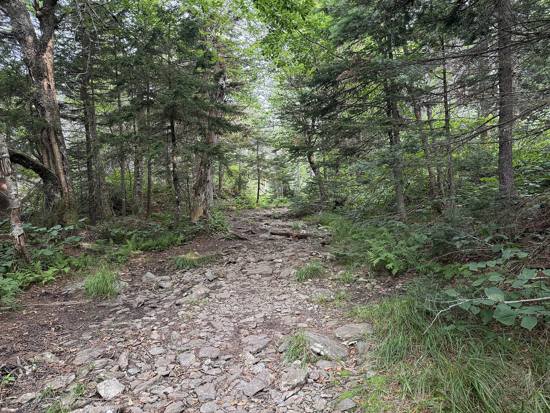
Haystack Mountain Trail ✓ Trusted
After a half mile on a gravel road, this trail turns onto a footpath, climbs steeply along a ridge past a rock outcrop, then twists upward to the summit two mil...
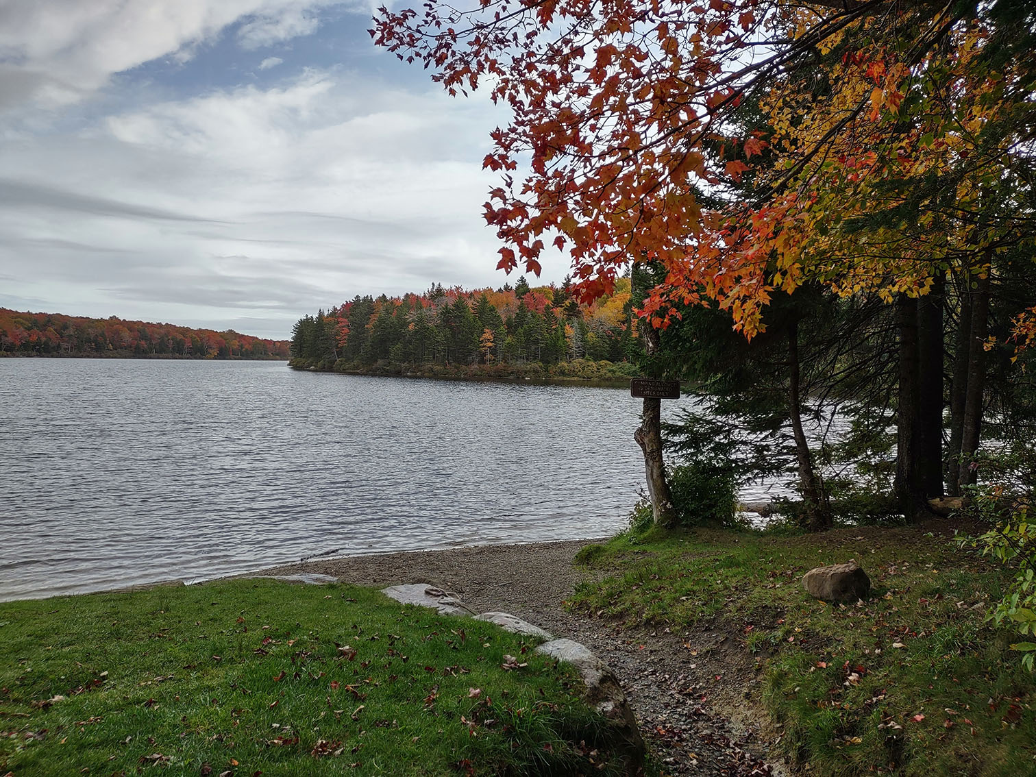
Grout Pond Trails (Somerset) ✓ Trusted
Set amid relatively flat, low-lying terrain near Somerset, the Grout Pond trail network offers 11.6 moderate miles marked with blue diamond blazes. Open year-ro...
Arthur Gibb Trail (Wilmarth Woods) ✓ Trusted
The Arthur Gibb Trail climbs gently through the Wilmarth Woods Preserve — a Nature Conservancy stand of mature low-elevation forest — then steepens up the old s...
Hoot, Toot & Whistle Trail ✓ Trusted
Named for the Hoosac Tunnel and Wilmington railroad bed, this trail starts at Reardon's Crossing footbridge and runs west and south of the village along the Nor...
Bromley Mountain via Long Trail (Bromley) ✓ Trusted
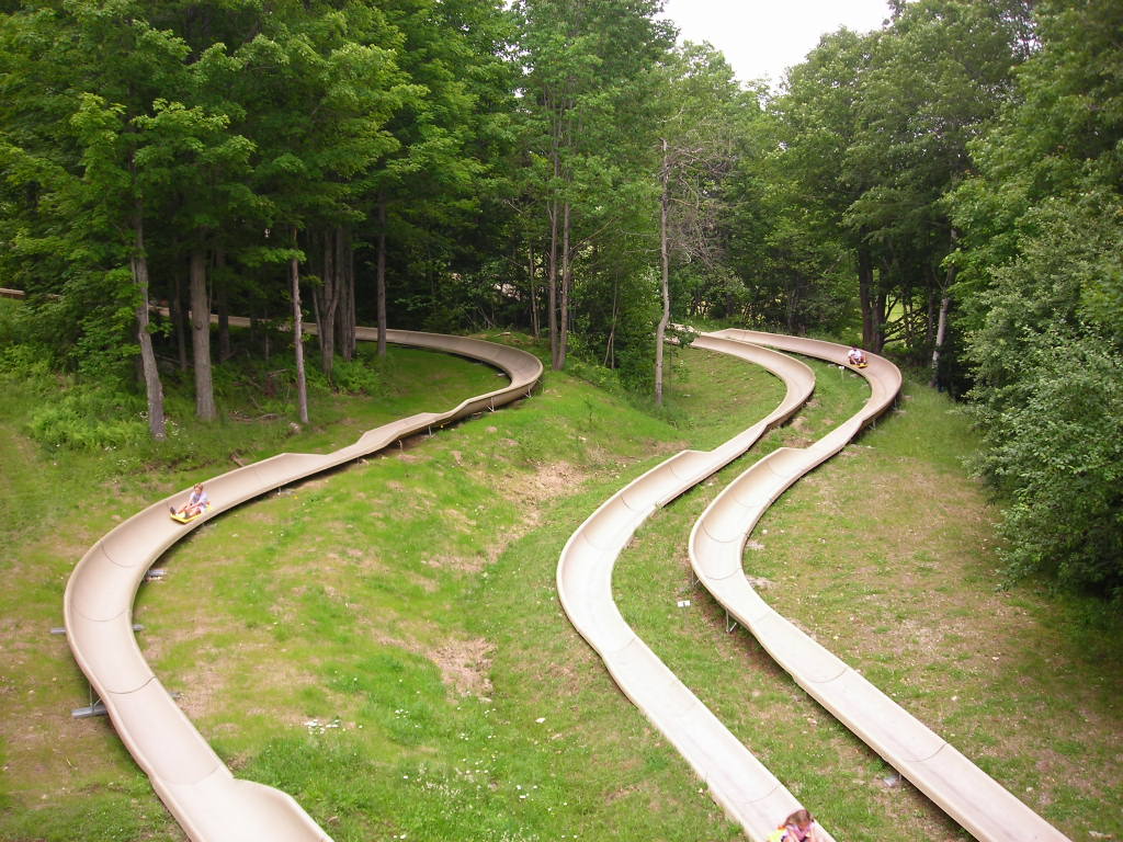
This moderate 5.7-mile route follows the white-blazed Long Trail — concurrent with the Appalachian Trail — to the open summit of Bromley Mountain, gaining 1,414...
Mount Snow Hiking Trail (Mount Snow) ✓ Trusted
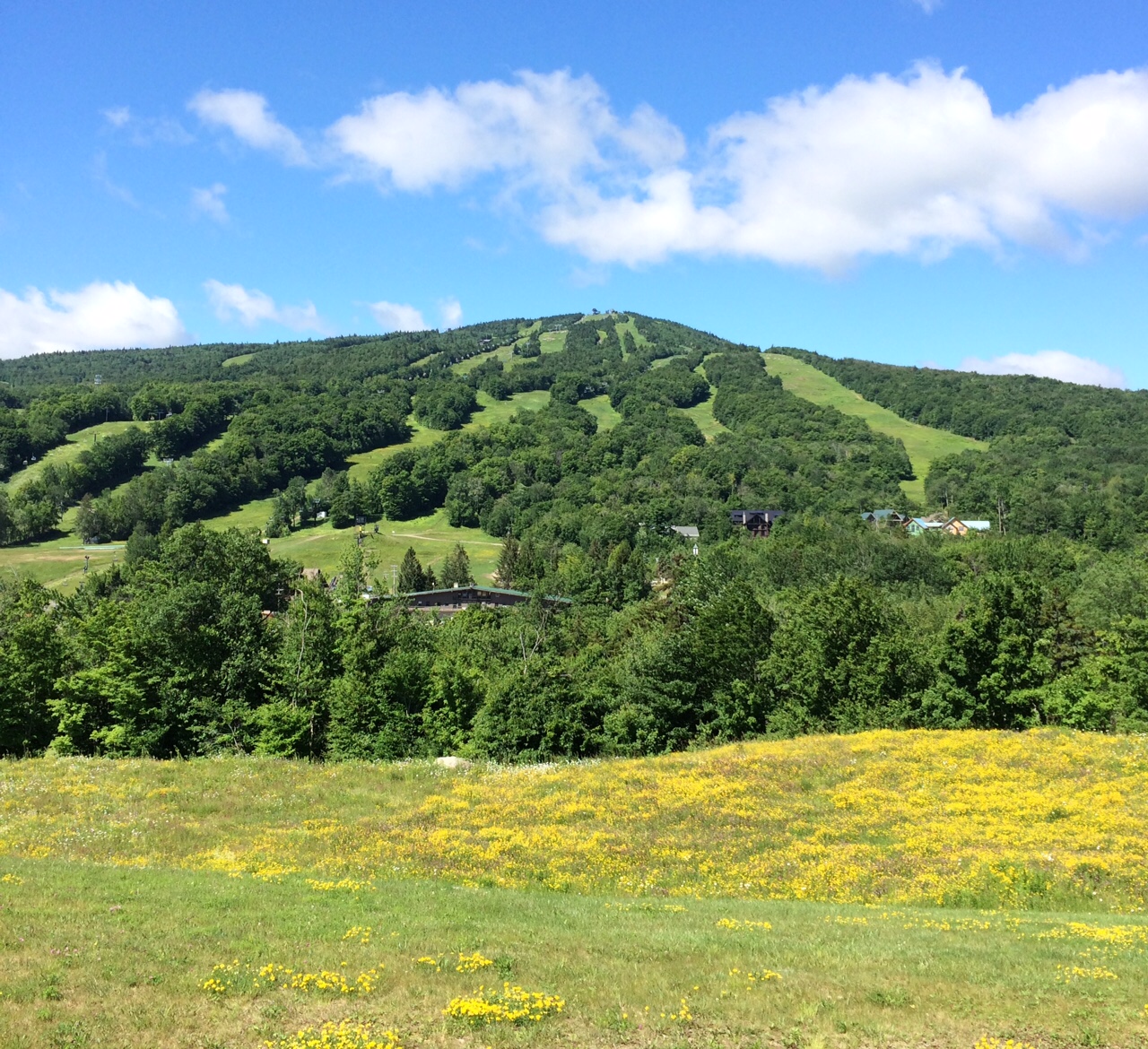
Mount Snow's own hiking trail climbs about 1,052 feet over 1.5 miles from mid-mountain toward the 3,567-foot summit. Rated moderate, it follows a dirt and grave...
Highline Trail (Mount Snow) ✓ Trusted
A short but very steep black-diamond route on Mount Snow, Highline drops 563 feet over just 2,661 feet of singletrack. The average grade tops 21 percent, so exp...
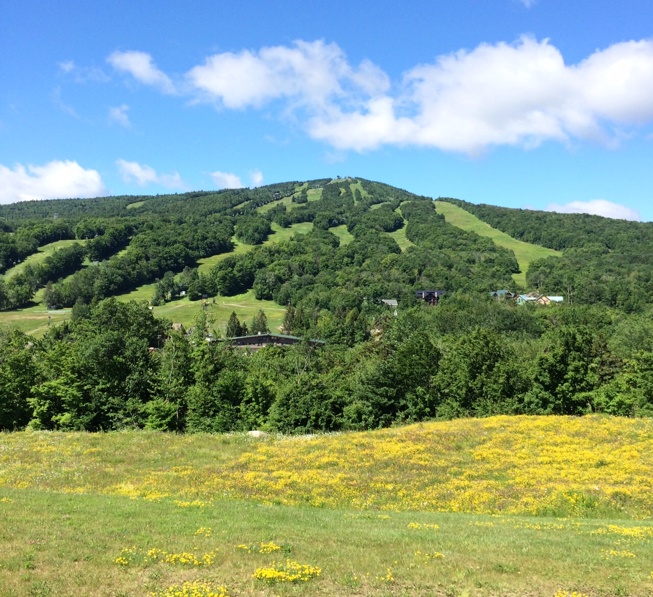
Link Trail (Mount Snow) ✓ Trusted
The 1.6-mile Link Trail threads through Mount Snow's summer network, gaining about 827 feet between 2,171 and 2,986 feet of elevation. Rated a hard black diamon...
Valley Trail (Dover-Wilmington) ✓ Trusted
The 9.1-mile Valley Trail greenway links Dover and Wilmington through the Green Mountain National Forest region, offering a critical off-road alternative to Rou...
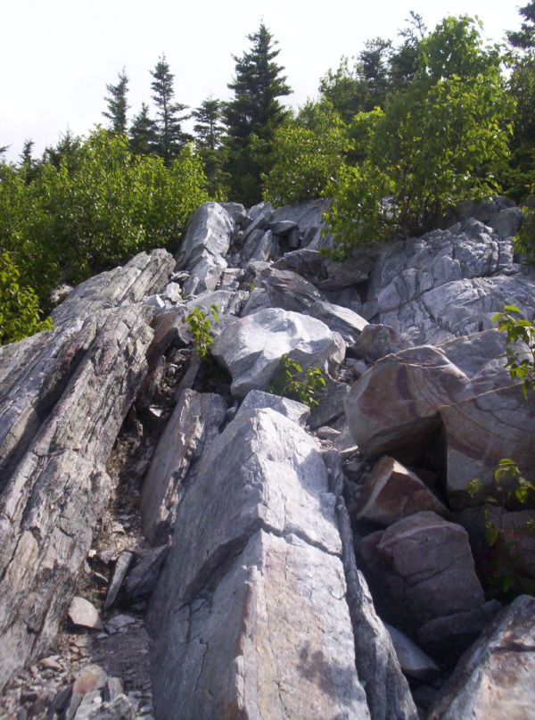
Baker Peak Trail (Danby) ✓ Trusted
In the Big Branch Wilderness near Danby, the Baker Peak Trail climbs through deep Green Mountain forest to a rocky summit with wide views. A steep, rocky pitch ...
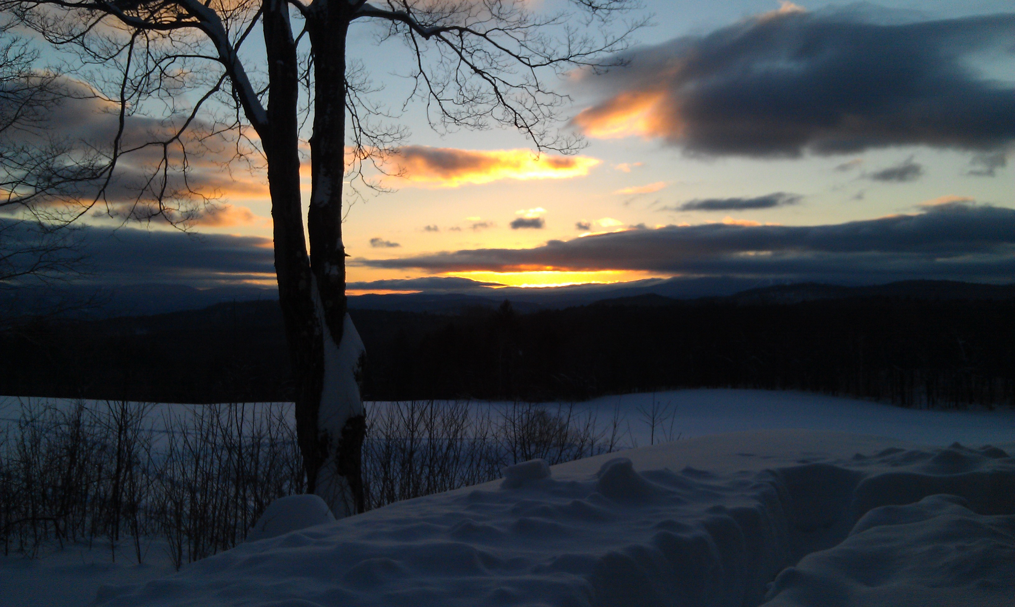
Stratton Ridge Trail (Stratton Mountain Resort) ✓ Trusted
Beginning on Stratton's Wanderer ski trail, this moderate 3.1-mile one-way route crosses from North Stratton Mountain along the wooded ridge to Stratton Mountai...
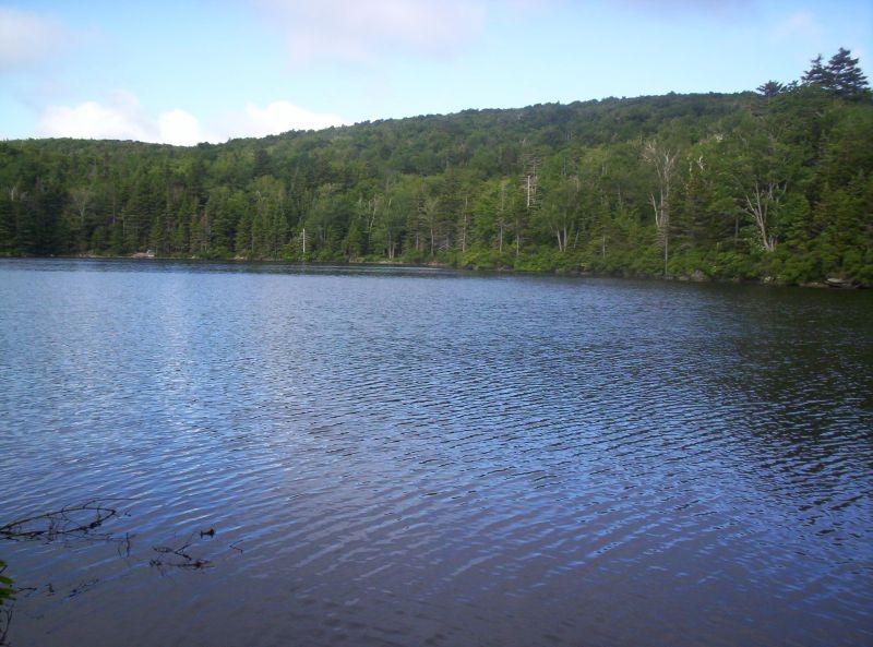
Griffith Lake Trail (Peru) ✓ Trusted
This moderate 4.6-mile out-and-back begins near the Big Branch and Peru Peaks Wilderness boundary and follows a rocky, gently graded path north to Griffith Lake...
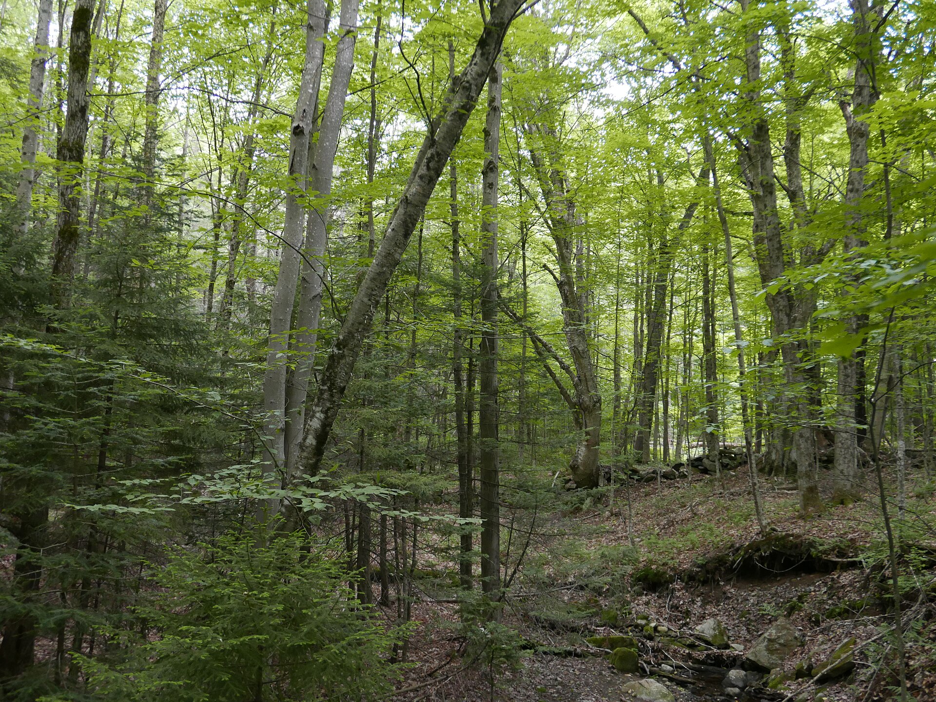
Mount Olga Trail ✓ Trusted
This 1.7-mile blue-blazed loop starts across from the Molly Stark State Park office, crossing a small brook and old stone walls that recall the land's farming p...
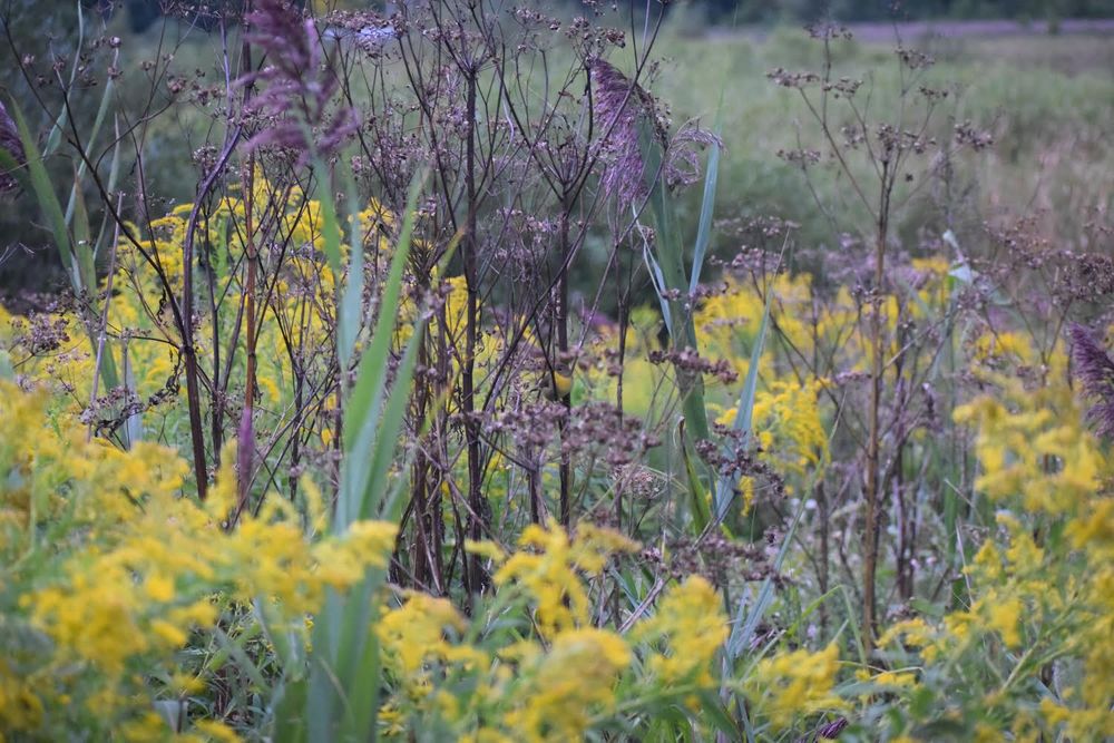
West Rutland Marsh ✓ Trusted
This marsh is an Important Bird Area, drawing visitors who hope to glimpse the least bittern, a heron rarely found in Vermont. A four-foot-wide, 100-yard boardw...
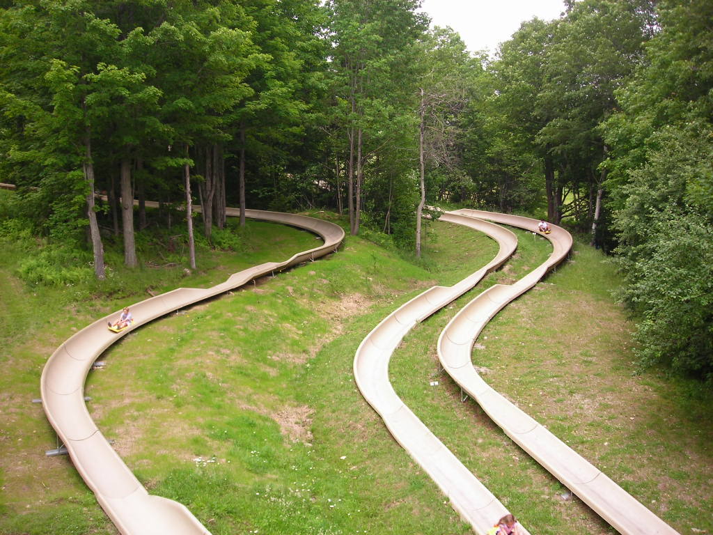
Mad Tom Gap to Bromley Mountain via Long Trail (Bromley) ✓ Trusted
From Mad Tom Notch, the Long Trail climbs 4.9 miles through northern hardwood forest to Bromley's summit, gaining about 1,049 feet. Look for the iconic cement c...
Raponda Ridge Trail ✓ Trusted
June brings lupins to this loop. From the Ware Road trailhead, follow the blue diamonds past the gate for 0.3 miles and turn right onto the lower trail, then be...
Hogback Loop ✓ Trusted
From the Raponda Ridge trailhead, head north on Ware Road until the road becomes a trail, then turn right onto the Ware Homestead and Hogback Connector into the...
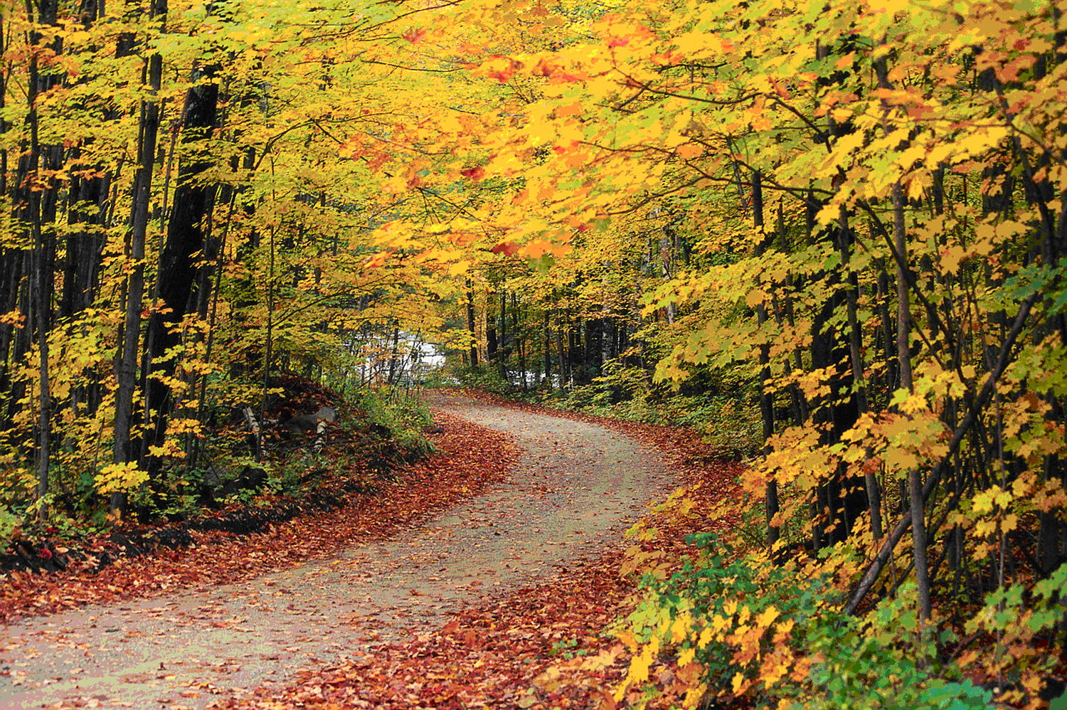
Hapgood Pond Loop (Peru) ✓ Trusted
An easy 1.2-mile loop around Hapgood Pond in the Green Mountain National Forest, this beginner-friendly trail gains just 65 feet. Expect pretty lake and stream ...
Wright Park Trails (Middlebury) ✓ Trusted
Wright Park's 150 acres hold a 3.8-mile network of three main north-south trails — the White Circle along Otter Creek's cliffs and marshes, the White Triangle b...
Carriage Trail ✓ Trusted
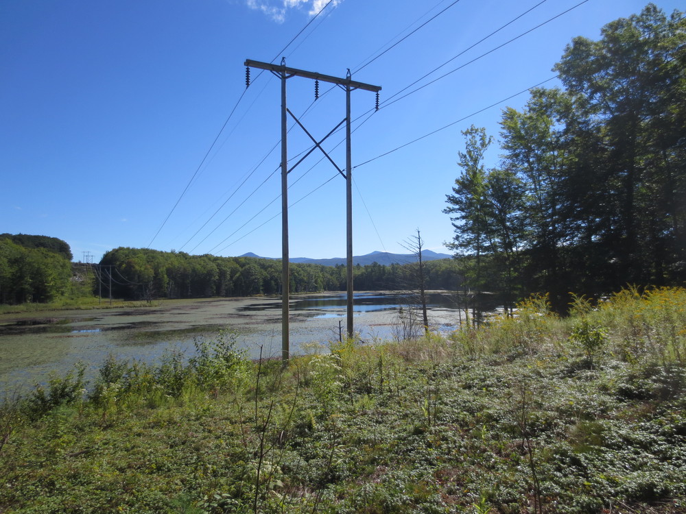
This 5.1-mile trail follows the old road that once linked Rutland and Proctor over Pine Hill, marked with blue blazes. It threads between Rocky and Muddy Ponds ...
Chipman Hill Trails (Middlebury) ✓ Trusted
Rising about 360 feet above Middlebury, Chipman Hill rewards hikers with broad views from a forest that has fully regenerated since its 1940s–50s days as the co...

Trail Around Middlebury (TAM) ✓ Trusted
The 17-mile Trail Around Middlebury loops through ten sections — college trails, the Otter Creek Gorge Preserve with its bridge over the deep gorge and a spur t...

Pine Hill Park ✓ Trusted
Owned by the City of Rutland and stewarded by the nonprofit Pine Hill Partnership, this park's trails were built and are maintained entirely by volunteers who h...
Ball Mountain Lake Trails (Jamaica) ✓ Trusted
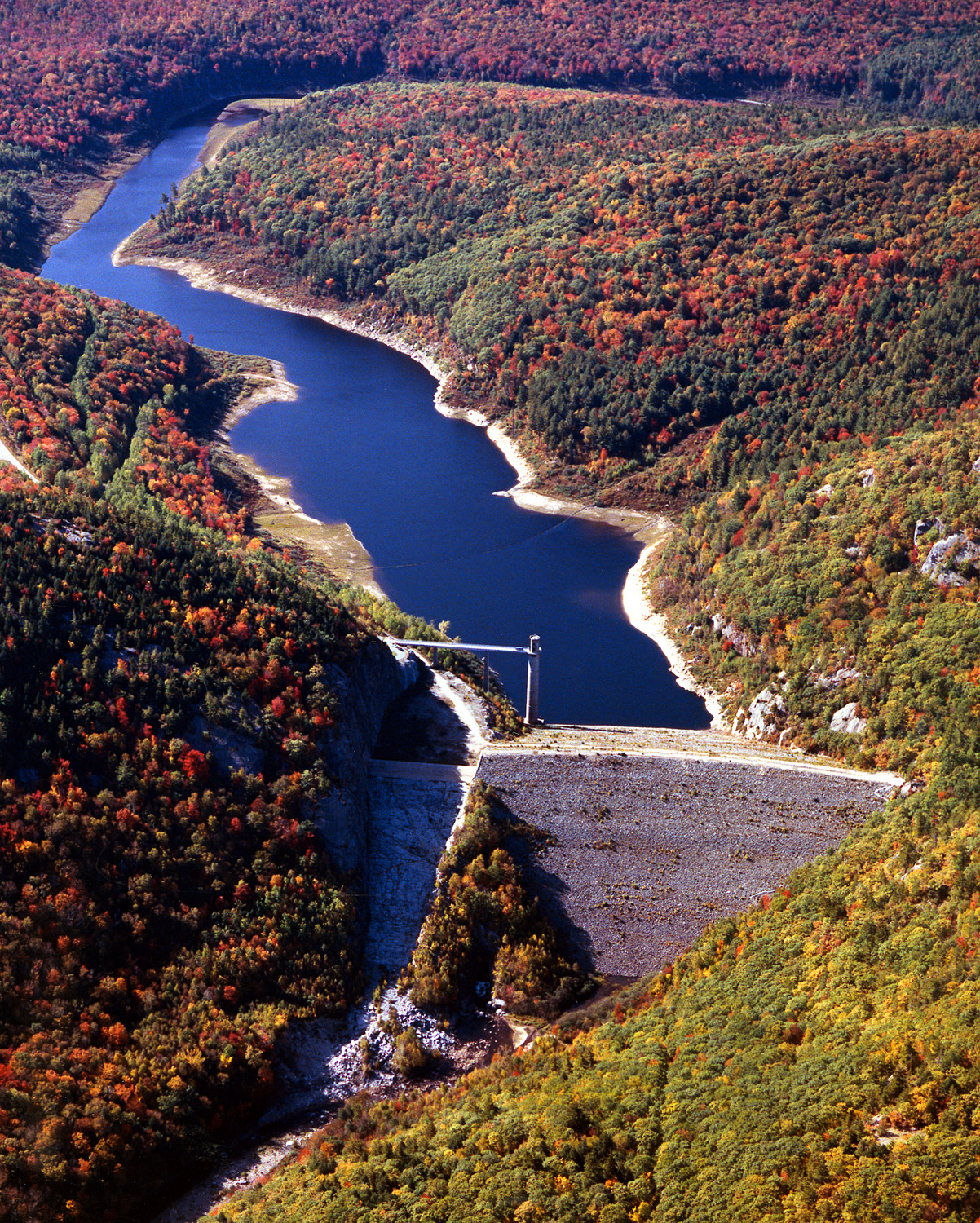
Over 4.5 easy miles of trail follow the West River below Ball Mountain Lake's dam, where an overlook delivers panoramic views of Stratton and Bromley Mountains....
West River Trail: Winhall Station Road to West River Street ✓ Trusted
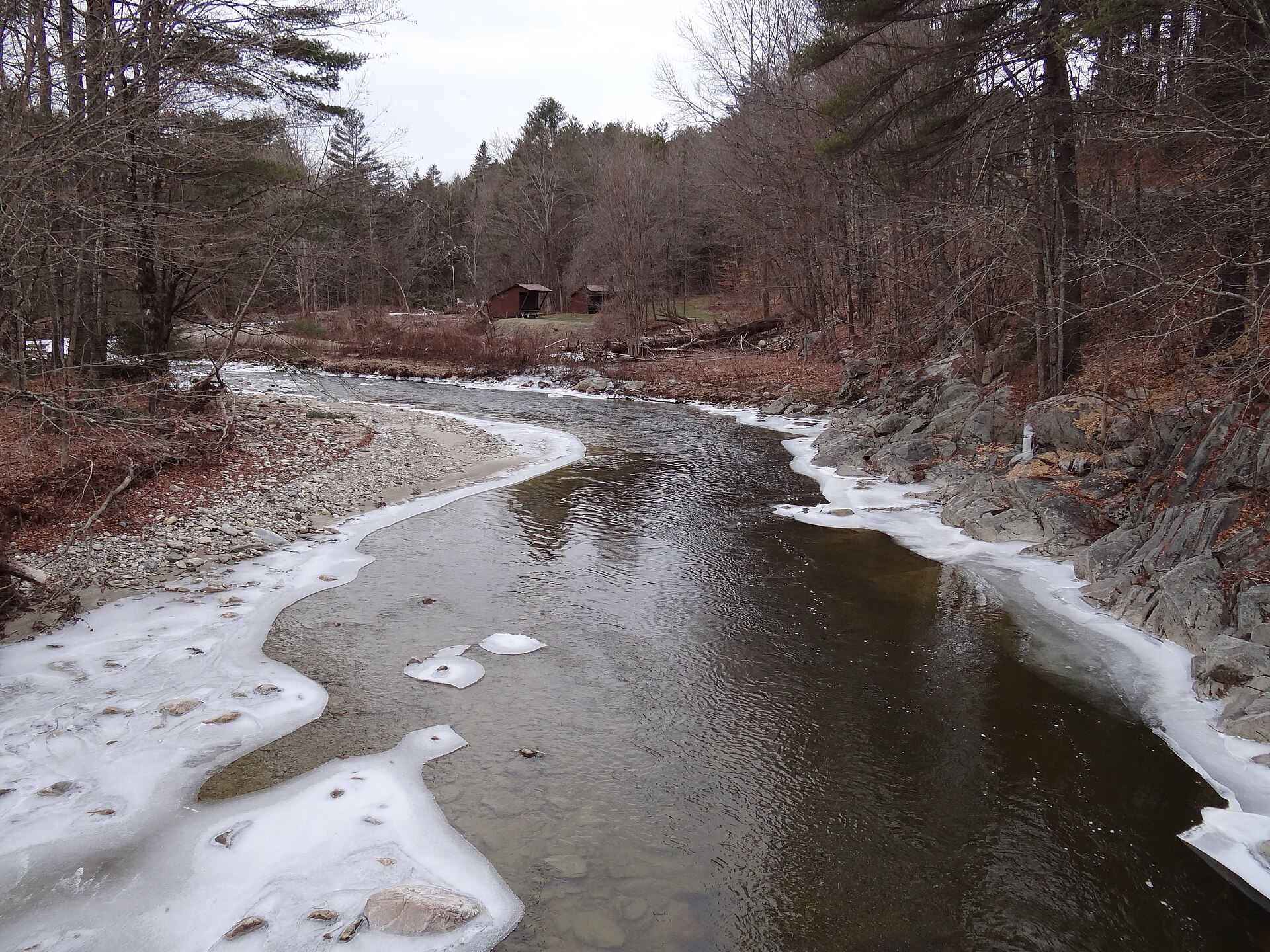
An easy 3.9-mile out-and-back near South Londonderry, this rail-trail follows the West River north from Winhall Station Road to West River Street with only 150 ...
Overlook Trail via West River Trail (Jamaica) ✓ Trusted
This moderate 2.4-mile loop near Jamaica pairs a stretch of the West River Trail with a climb to a scenic overlook, gaining about 387 feet. Wooded riverside wal...
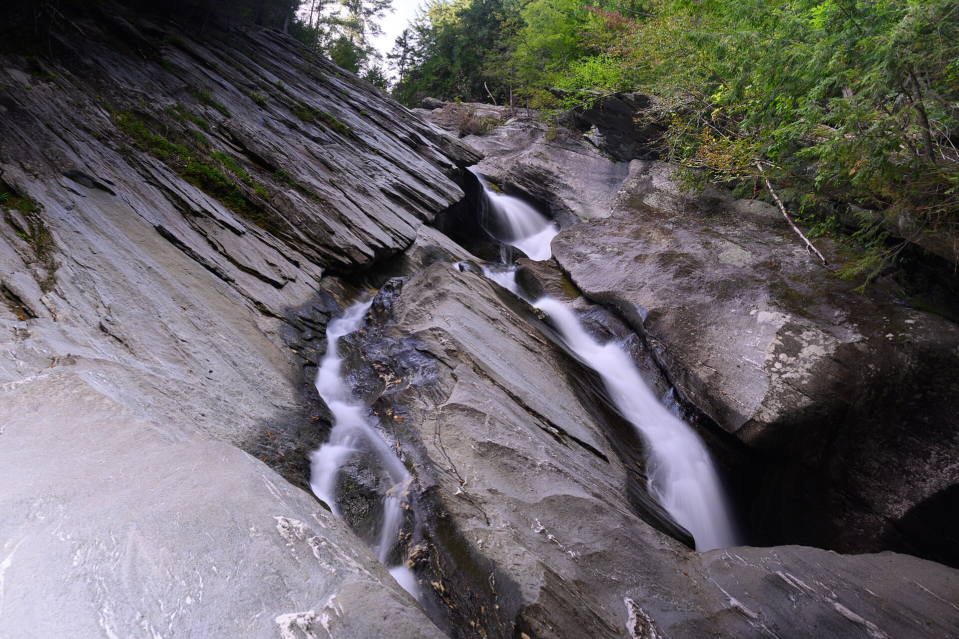
Hamilton Falls via Ball Mountain Dam (Jamaica) ✓ Trusted
This moderate 4.3-mile out-and-back near Jamaica starts at Ball Mountain Dam — worth a stop for the bridge views — then follows a stream-side trail to Hamilton ...
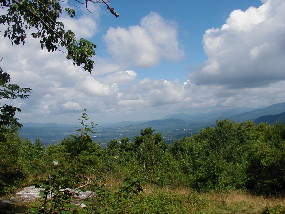
Bald Mountain Trail (Aitken State Forest) ✓ Trusted
Starting at a kiosk where Notch Road meets a gated forest access road, this trail follows the road south before turning uphill into a lollipop: a loop across th...
Tamarack Notch Trail ✓ Trusted
This flat loop follows an old crushed-gravel and stonedust road that once served a 1930s Civilian Conservation Corps camp and later a Girl Scout camp. The five-...
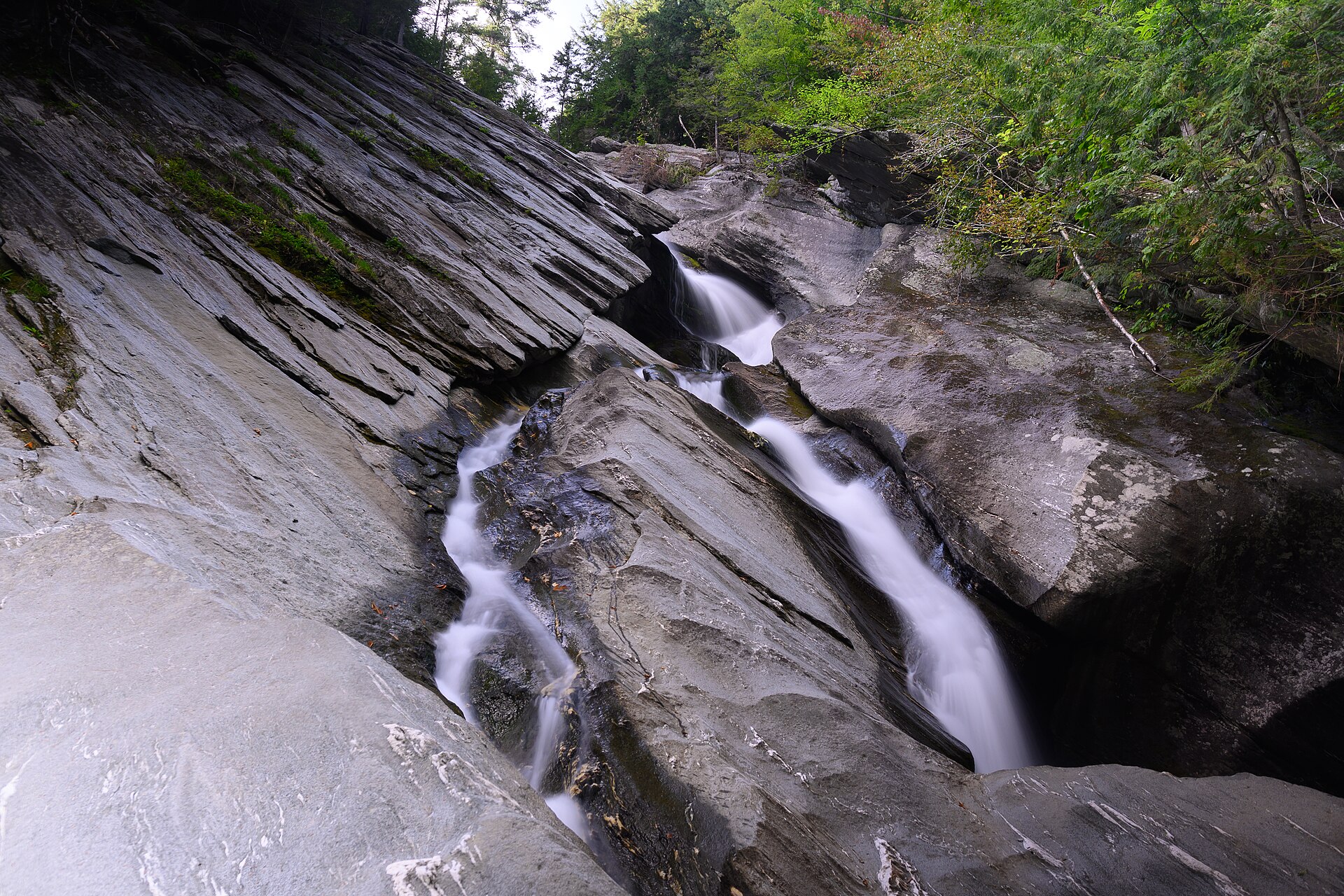
Turkey Mountain Road and Hamilton Falls Trail (Jamaica) ✓ Trusted
A moderate 8.4-mile out-and-back near Jamaica, this route follows the West River Trail before climbing toward Hamilton Falls and continuing along Turkey Mountai...
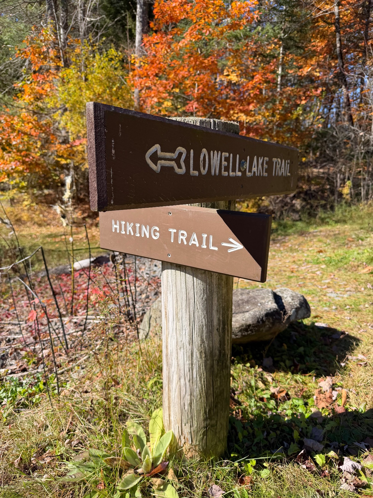
Lowell Lake Loop (Lowell Lake State Park) ✓ Trusted
This easy 3.2-mile loop explores Lowell Lake State Park, winding through soft pine forest and along the shoreline with just 154 feet of climbing. Boardwalks and...
Rock Point Trails ✓ Trusted
Rock Point Commons opens 130 acres of publicly accessible conserved land on the shores of Lake Champlain. Affiliated with the Episcopal Diocese of Vermont, this...
Red Rocks Park Trails ✓ Trusted
Several miles of trails wind through this 100-acre South Burlington park, serving hikers, joggers, snowshoers, and cross-country skiers. Trails thread the woods...
Ethan Allen Park Trails ✓ Trusted
One of America's first urban forest parks, Ethan Allen Park mixes paved paths with dirt loops around old thrust-fault cliffs. Climb to the 1905 observation towe...
Intervale Center Trails ✓ Trusted
Recreational trails wind along the Winooski River through the Intervale Center's 360-acre campus of farmland and open space, reaching all the way to the Ethan A...
Geprags Park Trails (Hinesburg) ✓ Trusted
Less than a mile from Hinesburg's village center, Geprags Park's easy-to-moderate foot trails wander through conserved forest and open fields. A barn offers she...
Centennial Woods Trails ✓ Trusted
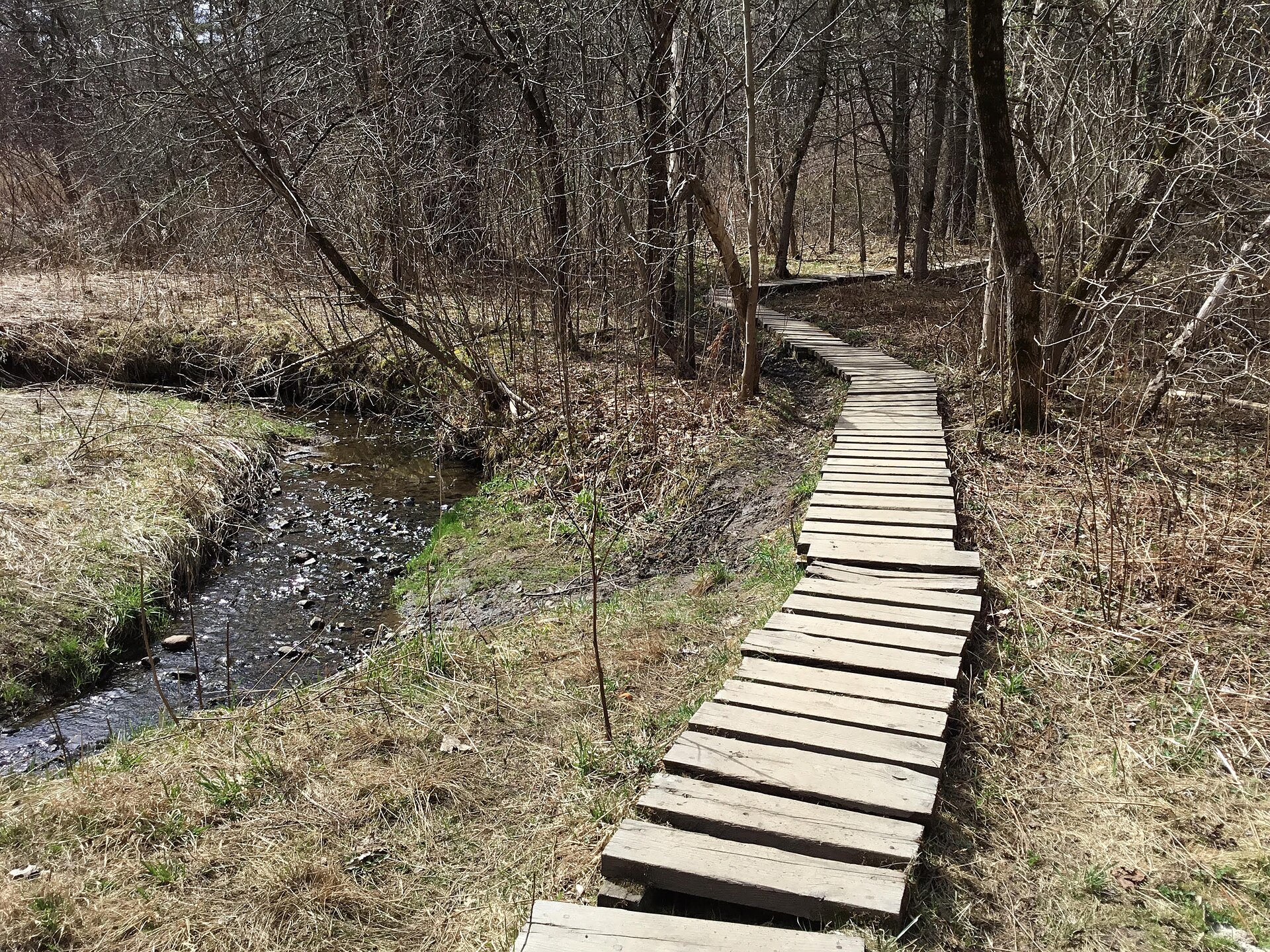
This 65-acre UVM natural area sits within Burlington city limits, right by campus. An unblazed trail system wanders through mature conifer stands, mixed hardwoo...
Chittenden Brook Trails (Green Mountain National Forest) ✓ Trusted
Tucked between the Rochester and Middlebury ranger districts, the Chittenden Brook area offers a moderate 7.5-mile trail network tracing beautiful brooks beneat...
Healdville Trail (Okemo State Forest) ✓ Trusted
The blue-blazed Healdville Trail climbs three miles from Mount Holly to Okemo Mountain's summit, where a refurbished fire tower delivers 360-degree views. Built...
Canty Trail to Blue Ridge Mountain (Mendon) ✓ Trusted
A moderately challenging climb near Mendon, the Canty Trail crosses several creeks through swampy lowlands before entering Green Mountain National Forest and ri...
Deer Leap via Sherburne Pass Trail (Killington) ✓ Trusted
Starting at the Inn at Long Trail, this moderate 2-mile route follows the historic Sherburne Pass Trail, the former Long Trail alignment, to the Appalachian Tra...
Sherburne Trails (Killington) ✓ Trusted
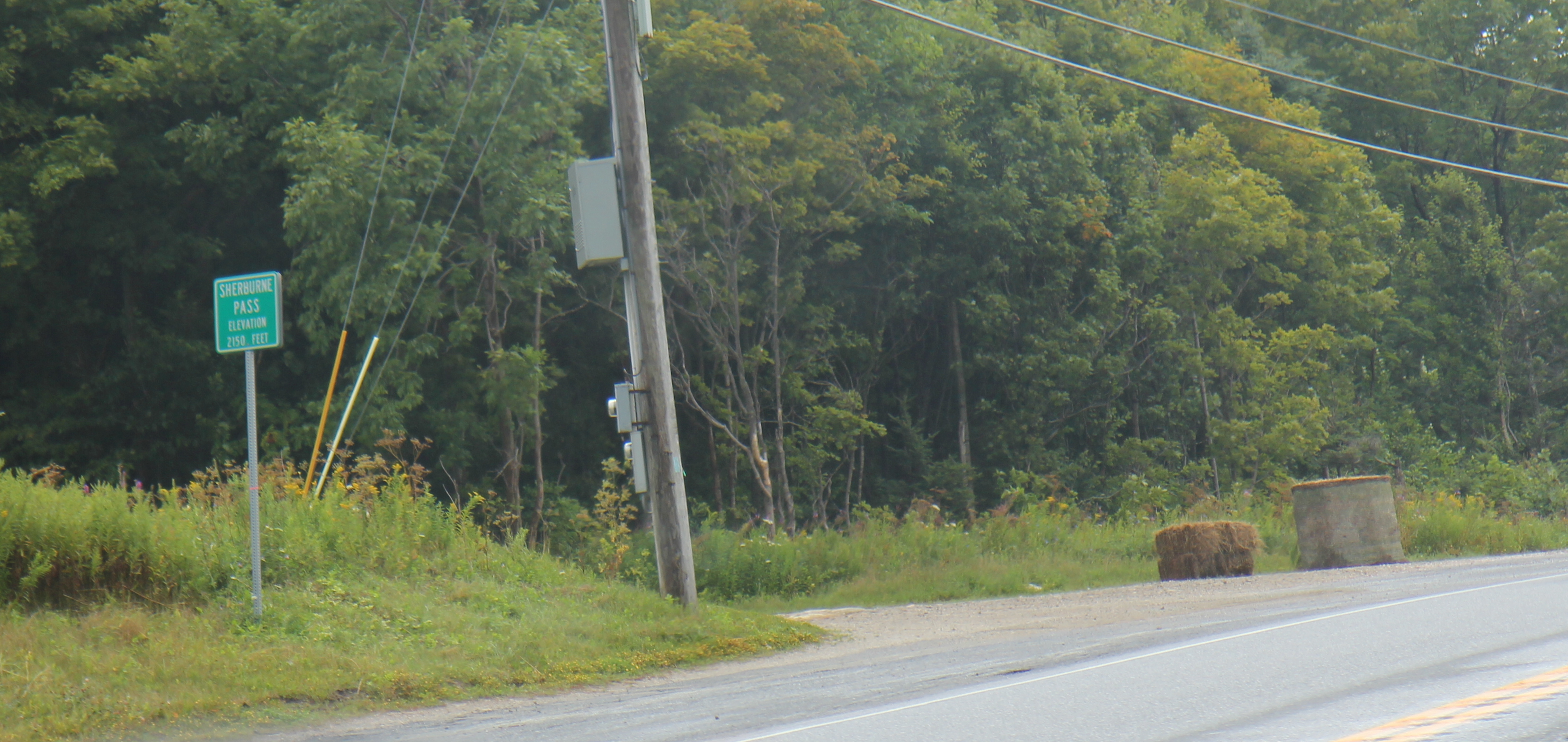
This moderate 3.6-mile Killington trail system pairs an introductory lower loop with a machine-built upper loop offering more climbing and smooth tread. Winding...
Pico Peak (via Sherburne Pass Trail) ✓ Trusted
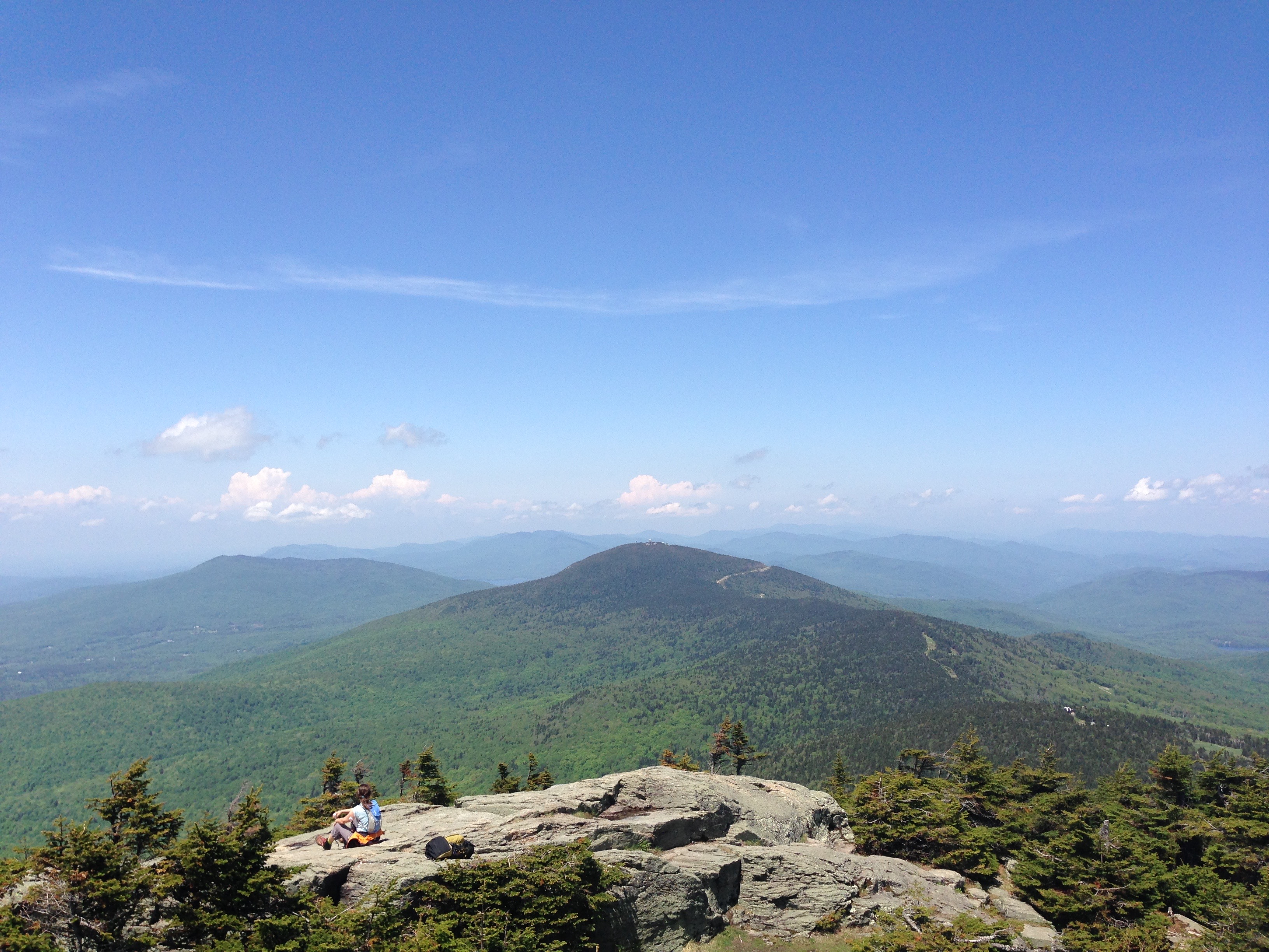
Two routes leave US-4 for Pico's summit: the Sherburne Pass Trail climbing through hardwood and spruce-fir forest, and the Long Trail, which the Appalachian Tra...
Sherburne Pass Trail (Pico Mountain) ✓ Trusted
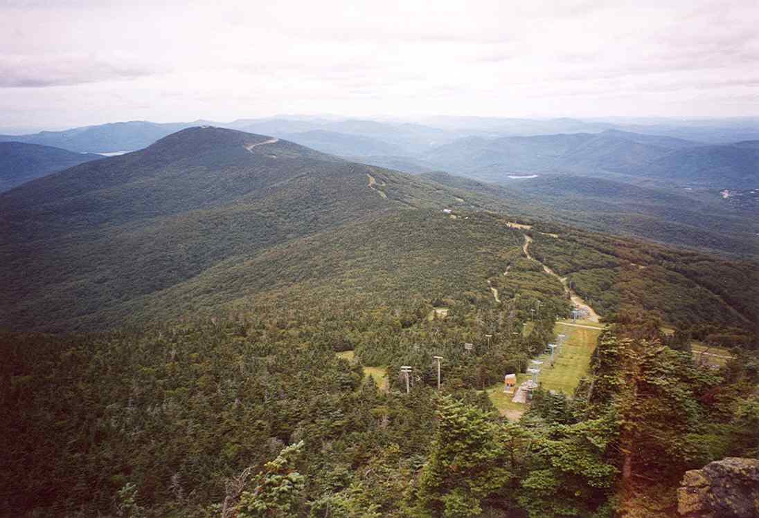
The historic former route of the Long Trail runs north and south from US-4 at Sherburne Pass, linking with the Appalachian Trail on both sides. Heading south pa...
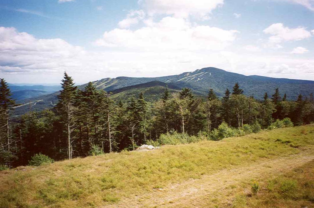
Sherburne Pass Loop (Pico Mountain) ✓ Trusted
This Forest Service loop strings together the AT/Long Trail, the Sherburne Pass Trail, and the Pico Link spur into a full tour of the pass country. Highlights i...
Black Mountain Natural Area Trails ✓ Trusted
A 3-mile trail network loops Black Mountain from trailheads on Rice Farm Road, but the Nature Conservancy warns the summit ascent is steep and difficult. Near t...
Retreat Farm Trails ✓ Trusted
Ten miles of trails cross 500 conserved acres of forest, farmland, and waterways at Retreat Farm, with routes around open meadows and through woods for all abil...
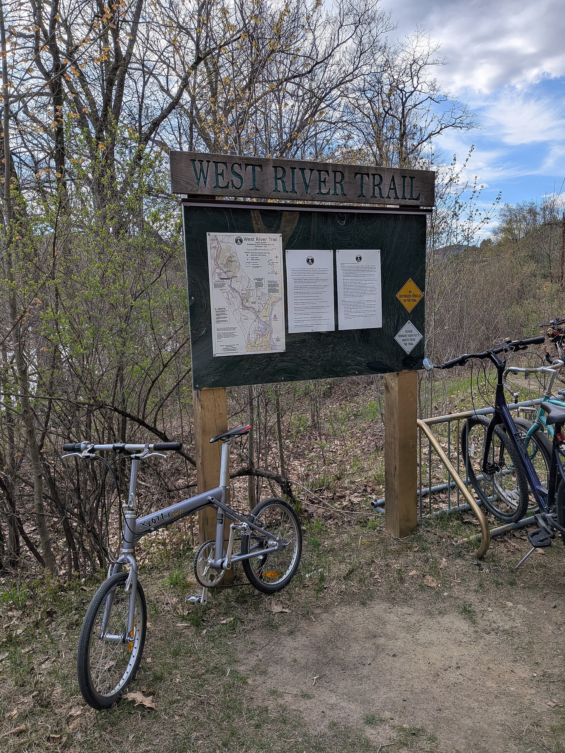
West River Trail, Dummerston to Brattleboro ✓ Trusted
The 3.3-mile Dummerston-to-Brattleboro segment follows a former railroad bed along a picturesque stretch of the West River, from the Black Mountain trailhead on...
Wantastiquet Mountain Trail ✓ Trusted
This 4-mile out-and-back climbs 1,070 feet on a former service road with switchbacks that keep the grade moderate. The reward is a viewpoint short of the forest...
Buttermilk Falls Trail (Okemo State Forest) ✓ Trusted
Follow Branch Brook past a trio of cascades on this easy one-mile loop in Okemo State Forest. Upper, Middle, and Lower Buttermilk Falls reward the short walk wi...
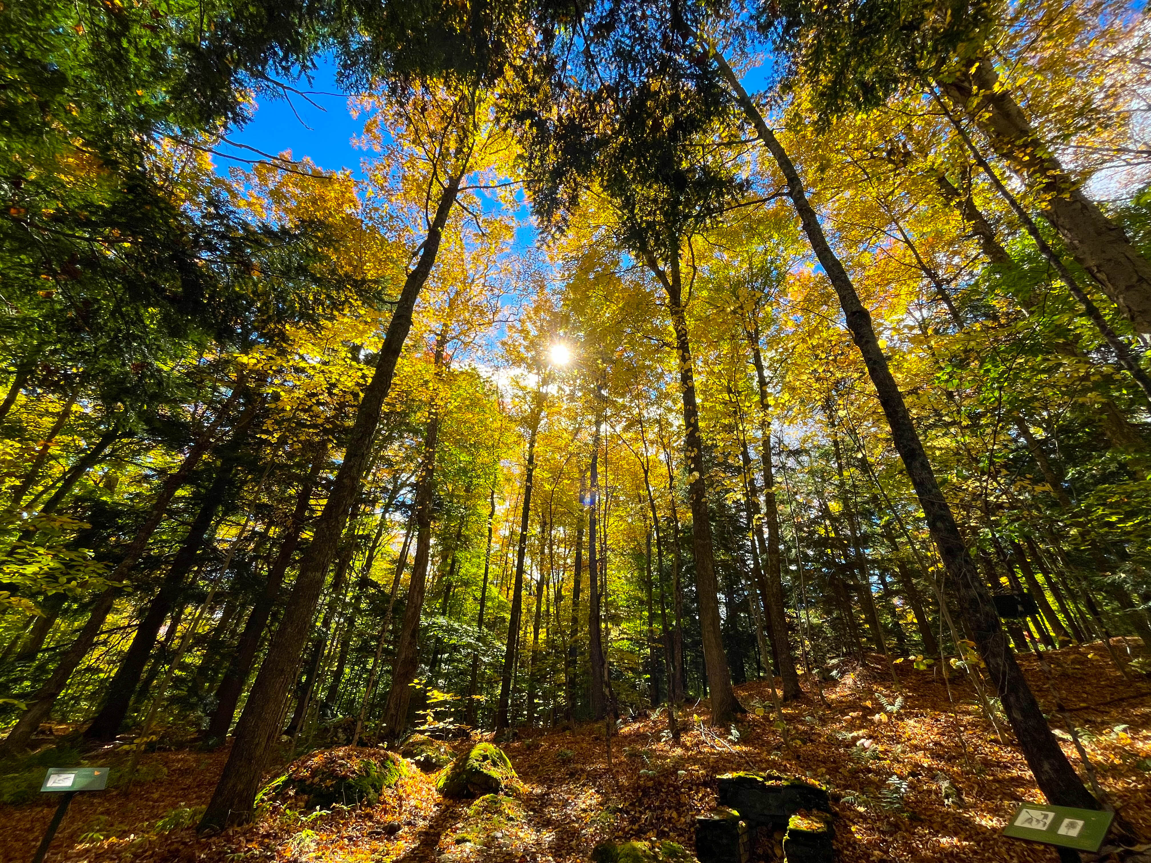
Gifford Woods State Park Trails (Killington) ✓ Trusted
Set near the base of Killington and Pico peaks, Gifford Woods State Park's easy 1.7-mile trail network winds through one of Vermont's only easily accessible old...
Deer Leap Trail & Overlook Spur (Pico Mountain) ✓ Trusted
From the Inn at Long Trail's lot, the northern Sherburne Pass Trail climbs half a mile to the Appalachian Trail, where the Deer Leap Trail bears west through bi...
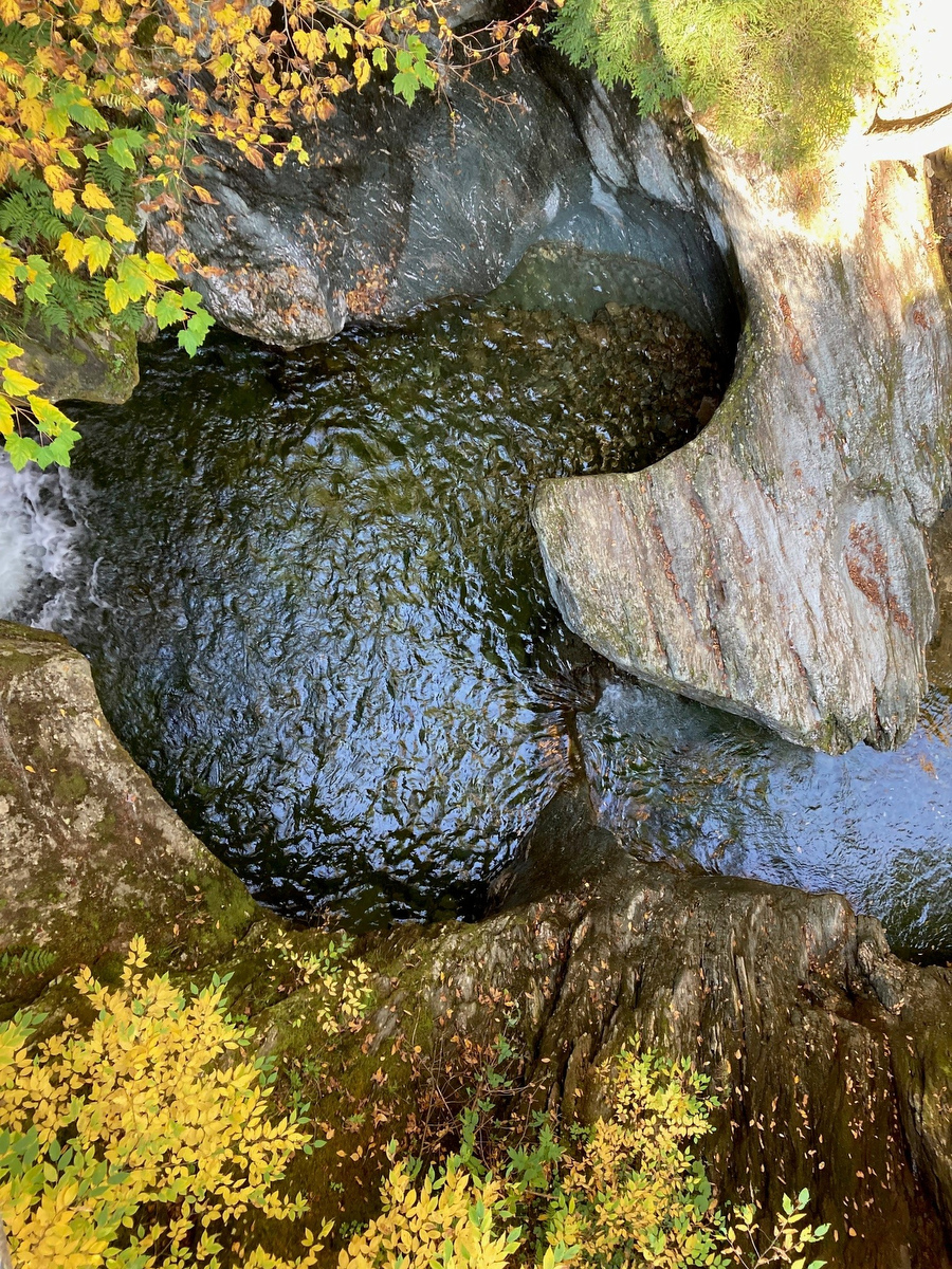
Texas Falls (Hancock) ✓ Trusted
At Texas Falls, Hancock Brook tumbles through a series of cascades over potholes carved by glacial meltwater. A one-mile loop meanders from the upper lot along ...
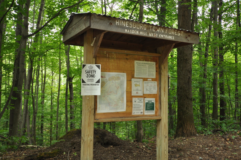
Eagle's Trail (Hinesburg Town Forest) ✓ Trusted
The well-marked Eagle's Trail loops for miles through Hinesburg Town Forest, a few miles southeast of the village, past old homestead sites and stands of fir, p...
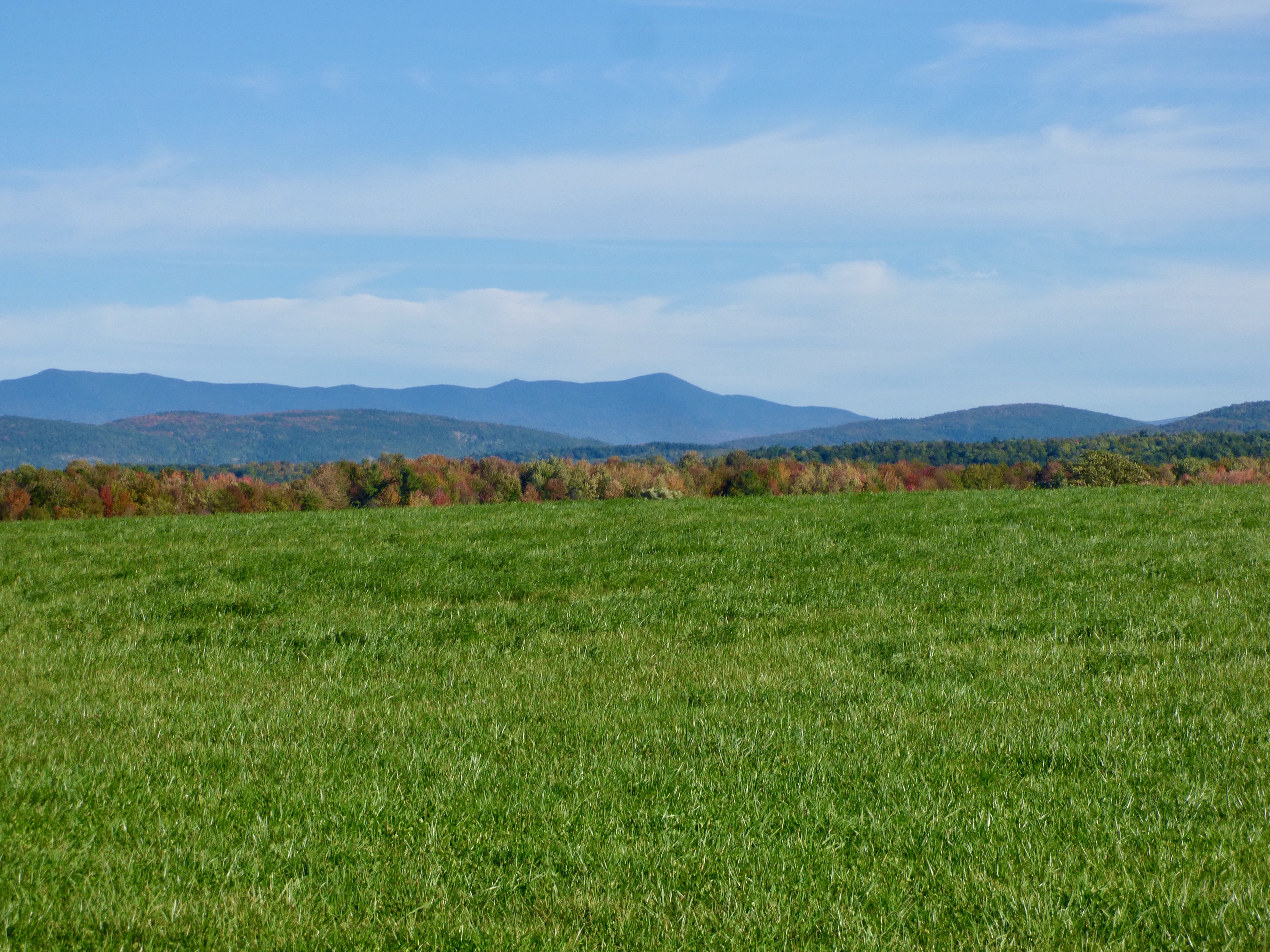
Mount Abraham via Battell Trail (Lincoln) ✓ Trusted
The Battell Trail offers a western approach to Mount Abraham, Vermont's fifth-highest peak, intercepting the Monroe Skyline ridgeline. This advanced 2-mile rout...
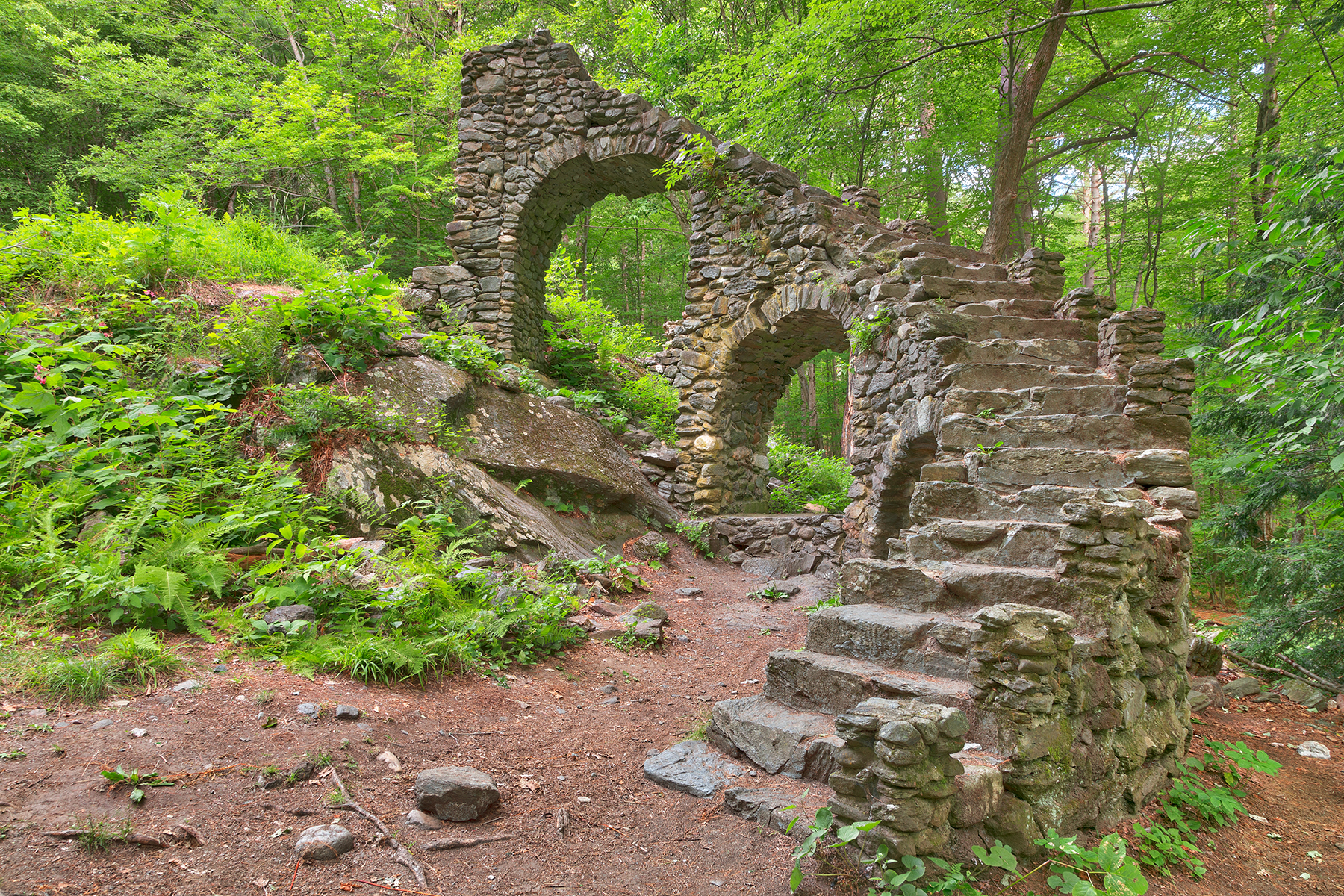
Ann Stokes Loop at Madame Sherri Forest ✓ Trusted
The 2.5-mile Ann Stokes Loop winds through dense deciduous woodland past two picturesque ponds, including Indian Pond. The trail also passes the stone staircase...
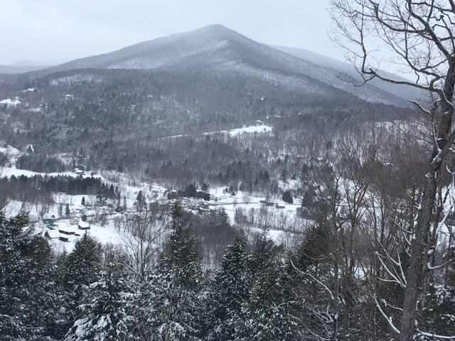
Green Mountain Trails, Pittsfield
This trail network climbs the hill above the Tweed River just off Route 100, with signed singletrack for hiking and mountain biking that ranges from beginner to...
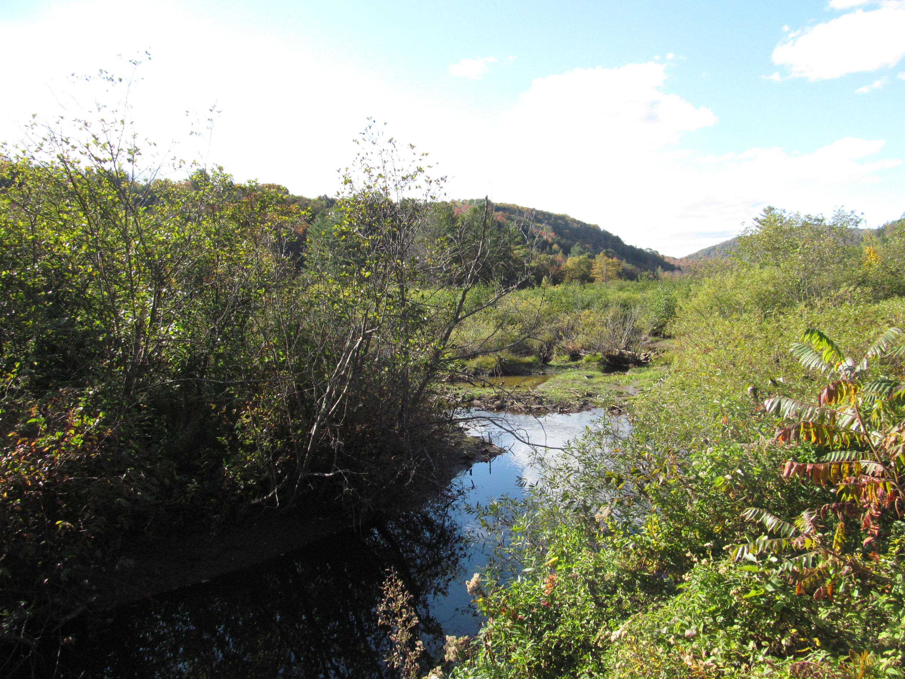
Thundering Falls via Appalachian Trail (Killington) ✓ Trusted
An easy 0.3-mile stroll from the River Road lot follows a 900-foot boardwalk built by the Green Mountain Club across the Ottauquechee River floodplain to Thunde...
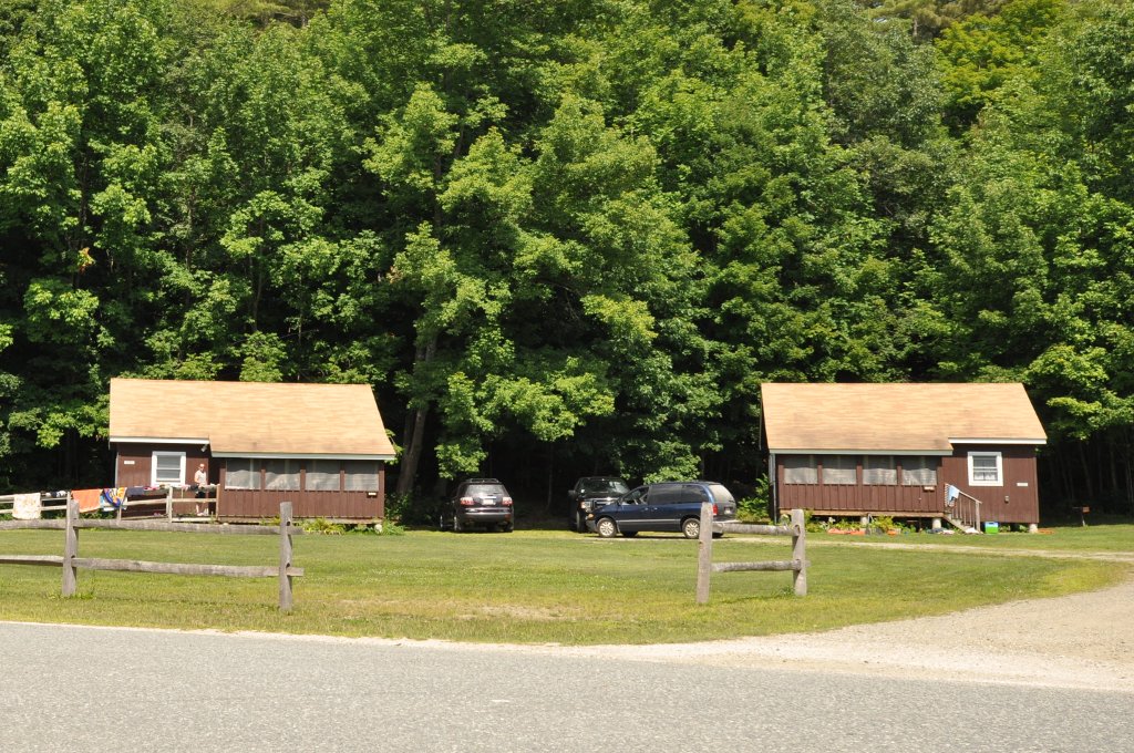
Vista Trail (Camp Plymouth State Park) ✓ Trusted
This one-mile blue-blazed climb leaves from beside Birch Cottage and switchbacks through the woods to a scenic vista above Echo Lake. A moderate forty-minute ro...
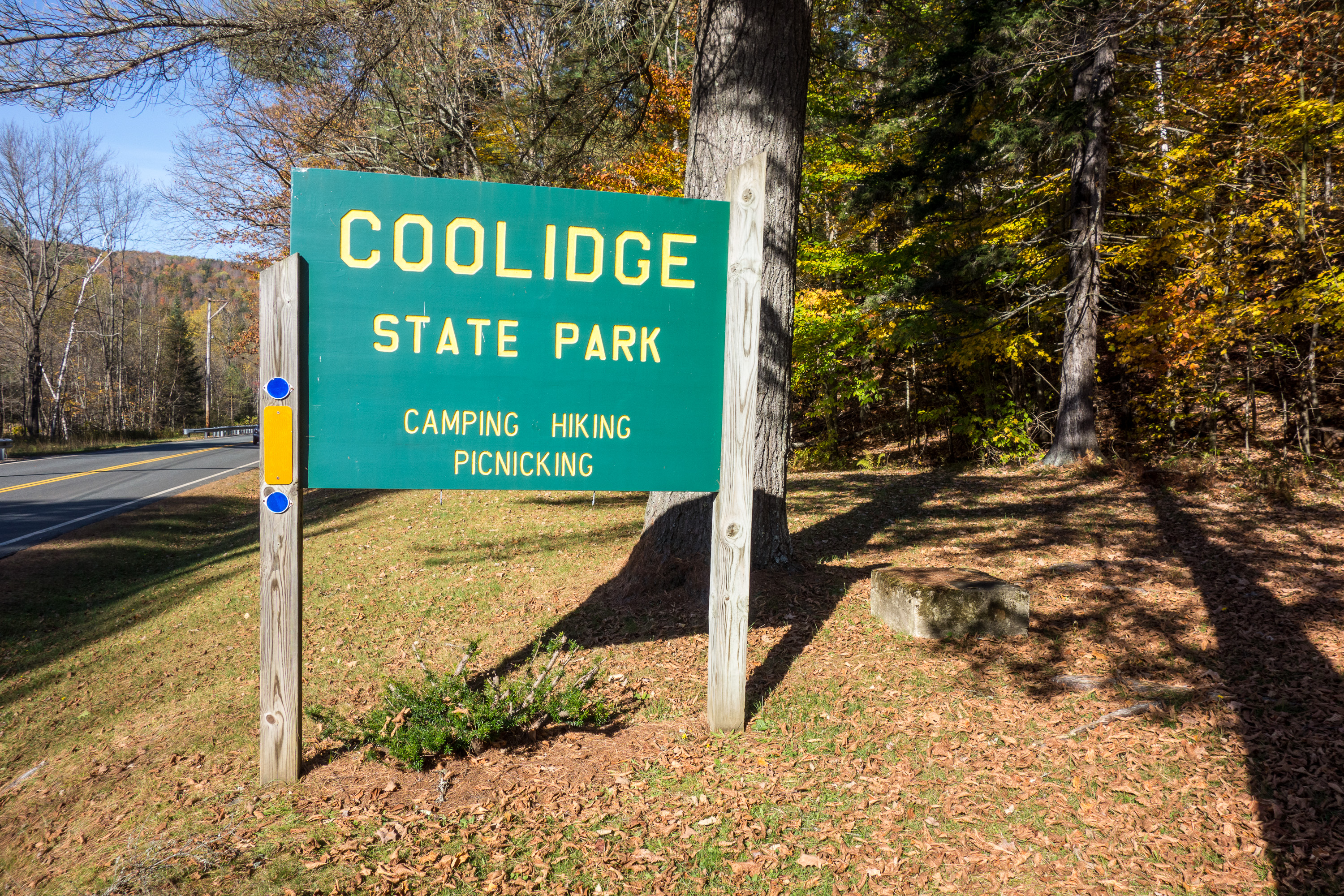
Coolidge State Park Trails (Plymouth) ✓ Trusted
Two trails wind through the campground section of Coolidge State Park, including the 1.5-mile CCC Trail climbing from 1,050 to 1,850 feet past a former picnic s...
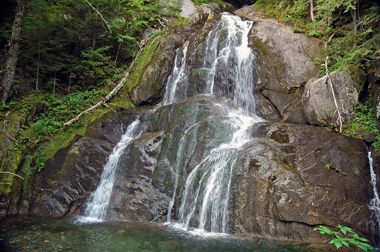
Moss Glen Falls
One of Vermont's tallest waterfalls spills down the gulf wall directly beside Route 100, and a boardwalk viewpoint makes it a five-minute stop with no excuse to...
Stark Mountain Hiking Trails (Mad River Glen) ✓ Trusted
Mad River Glen's hiking guide covers the trails of General Stark Mountain, with a downloadable map funded by the Stark Mountain Foundation. The nonprofit founda...
Preston Forest Legacy Trails (Richmond) ✓ Trusted
Just south of Richmond's Round Church, the Preston Forest Legacy trails climb through conserved forest on three marked loops. The blue-blazed Lower Loop switchb...
Warren Falls (Green Mountain National Forest) ✓ Trusted
A heavily used observation site on the Green Mountain National Forest, Warren Falls pairs high cliffs and fast water with deep Mad River swimming holes. An easy...
Chase Brook Town Forest (Fayston) ✓ Trusted
Chase Brook Town Forest offers moderate-to-expert trails for hiking and mountain biking, including a stretch of the Catamount Trail linking toward the Eurich Po...
Warren and Ruth Beeken Rivershore Trail (Richmond) ✓ Trusted
This riverside trail follows the Winooski River from Richmond to Jonesville, passing right by the Cochran Ski Area created by the family behind two Olympic meda...
Blueberry Lake Trail Network (Warren) ✓ Trusted
Designated an IMBA Model Trail-Gateway network, the 8.1 easy miles around Blueberry Lake welcome hikers, bikers, snowshoers, and skiers alike. Smooth beginner-f...
Mad River Path (Waitsfield) ✓ Trusted
The Mad River Path is a community-built active transportation corridor linking Warren to Middlesex through the Mad River Valley. Its mission centers on connecti...
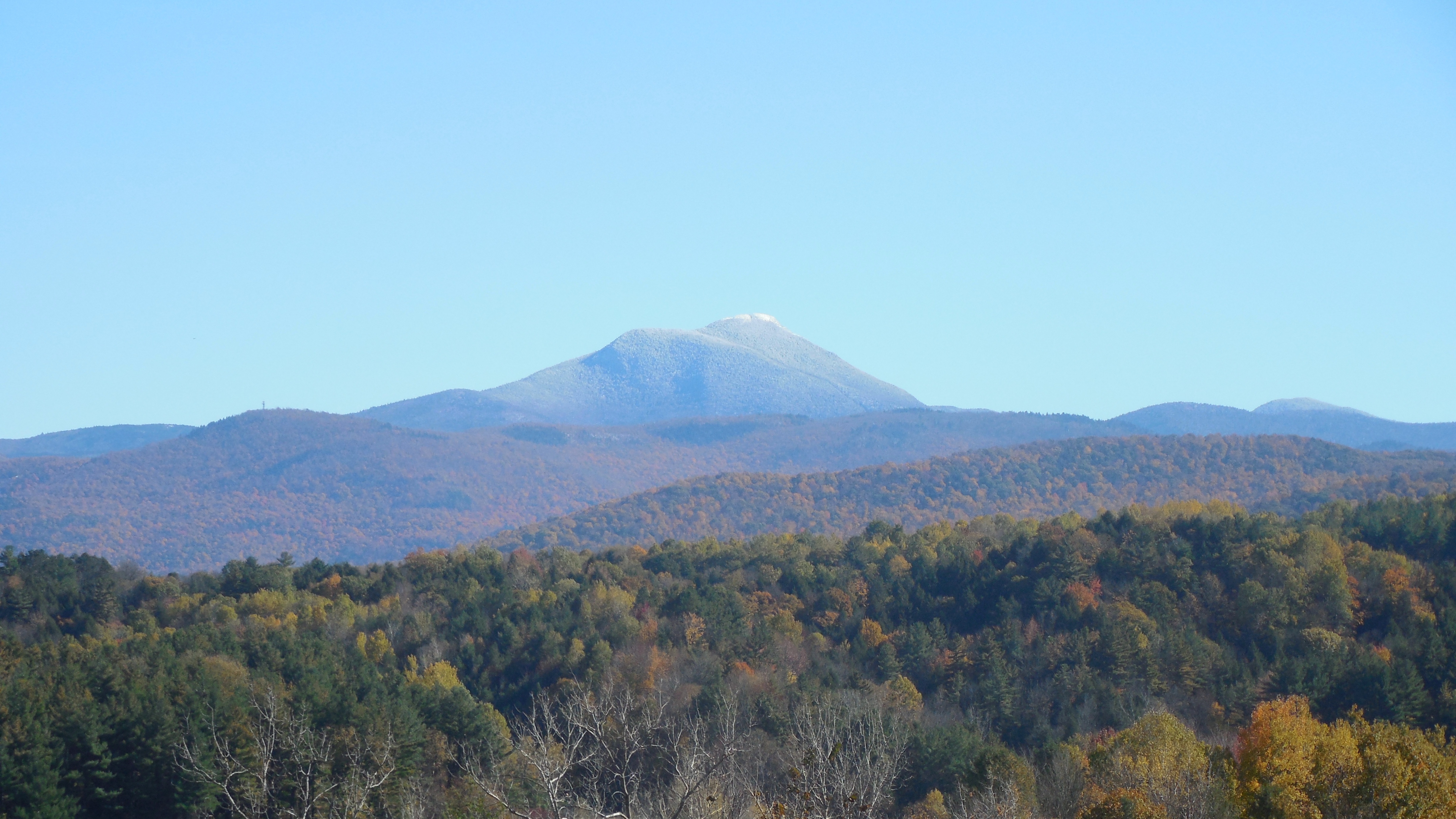
Camel's Hump via Burrows Trail (Camel's Hump State Park) ✓ Trusted
Vermont's most iconic summit profile draws hikers to Camel's Hump State Park, where trails climb through northern hardwood forest to an exposed alpine summit wi...
Cross Vermont Trail: Richmond/Bolton Segment (Map 9) ✓ Trusted
Map 9 of the Cross Vermont Trail links Duxbury, Bolton, and Richmond along an old Vermont road tracing the Winooski River, with a four-mile gravel middle and dr...
Wu Ledges Town Forest (Waitsfield) ✓ Trusted
Just outside Waitsfield village, Wu Ledges Town Forest spans 145 acres crowned by the Wu Ledges -- a large bedrock outcrop with sweeping views of the Mad River,...
Scrag Mountain Town Forest Trails (Waitsfield) ✓ Trusted
Waitsfield's 750-acre town forest offers a moderate 1.7-mile trail network featuring waterfalls, headwater streams, and a high-elevation beaver pond. The Scrag ...
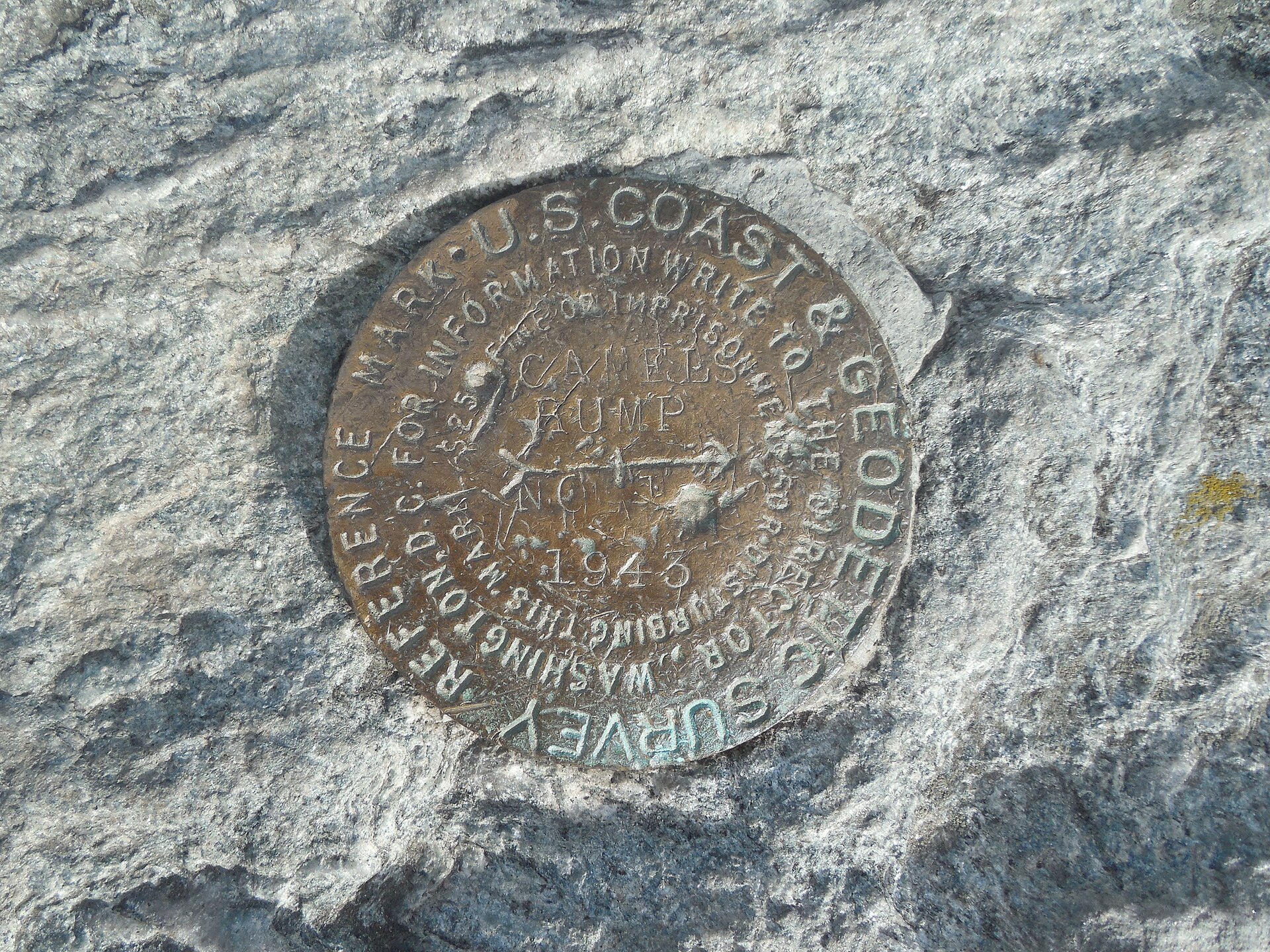
Monroe Trail ✓ Trusted
This 3.4-mile route leaves the Camel's Hump Road parking area in North Duxbury and climbs the mountain's eastern flank to Hut Clearing, where it joins the Long ...
Spaulding Greenway (Waitsfield) ✓ Trusted
A flat, easy one-mile section of the Mad River Path, the Spaulding Greenway crosses a newly conserved 70-acre meadow along the Mad River between farm fields and...
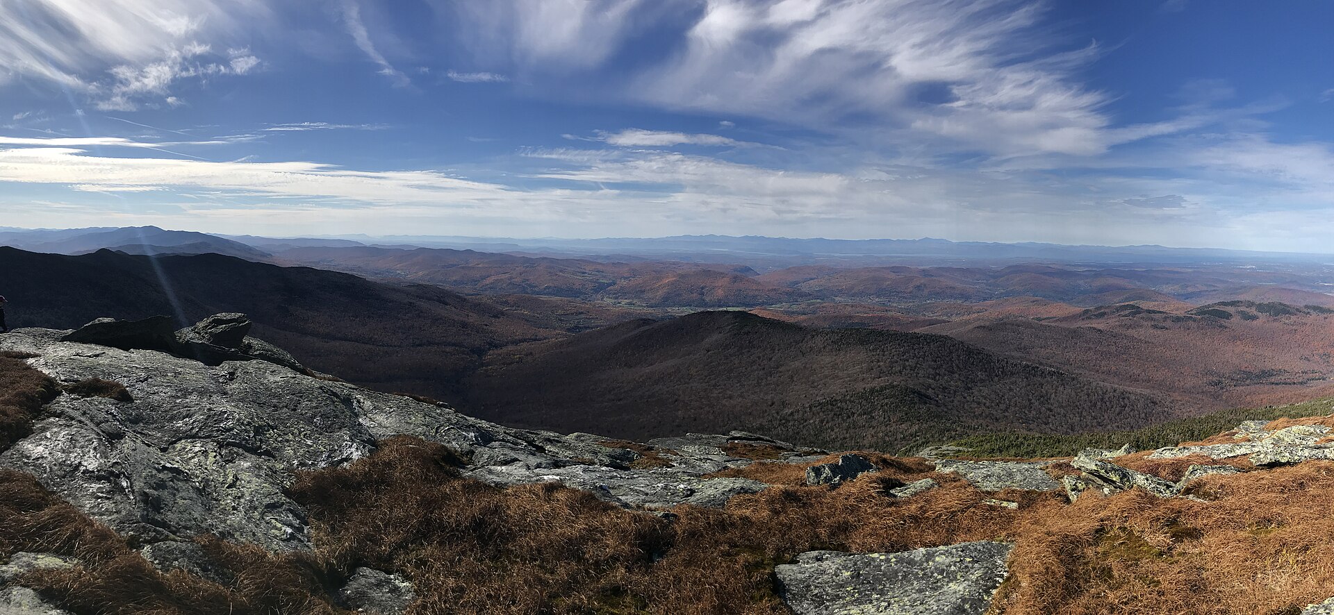
Camel's Hump View Trail ✓ Trusted
This universally accessible 0.8-mile trail starts from the parking lot 3.5 miles up Camel's Hump Road in Duxbury. Easy grades and a wide path make for a pleasan...
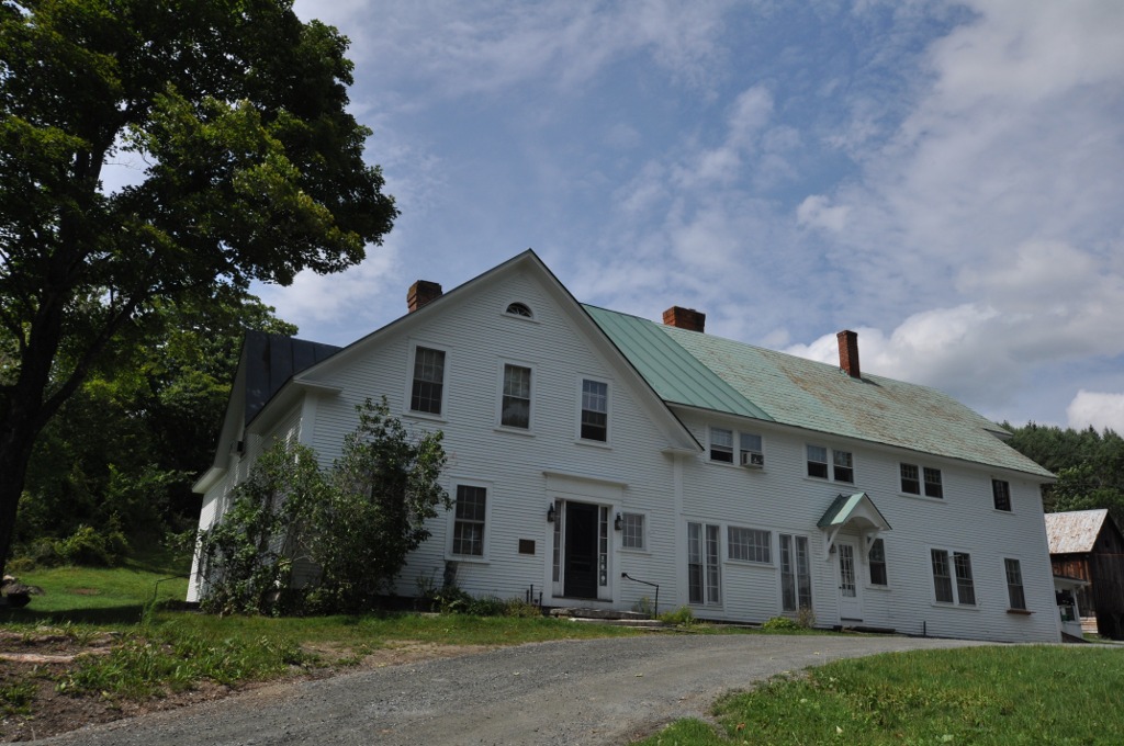
King Farm Trails ✓ Trusted
The Vermont Land Trust has stewarded the King Farm's 154 acres of farm and forest since 1986. Trails here border the national historical park to the west, cross...

Catamount, Long, Goat, and Maple Trail Loop (Bolton Valley) ✓ Trusted
This hard 5.9-mile loop near Jonesville strings together the Catamount, Long, Goat, and Maple trails through Mount Mansfield State Forest, gaining 1,423 feet. B...

Vista Peak via Vista Work Road (Bolton Valley) ✓ Trusted
Starting at the Bolton Valley Sports and Nordic Center, this moderate 3.2-mile out-and-back follows Vista Work Road up about 1,026 feet to the Bolton fire tower...

Bryant Cabin to Birch Loop (Bolton Valley) ✓ Trusted
Beginning at the base of Bolton Valley ski area, this moderate 2.9-mile loop climbs the pink-granite Bryant Trail about a mile to Bryant Cabin, then swings acro...

Libby's Look Loop (Bolton Valley) ✓ Trusted
A moderate 2.3-mile loop in the Preston Pond Conservation Area, this popular route passes a wetland before climbing about 436 feet to Libby's Look. The viewpoin...
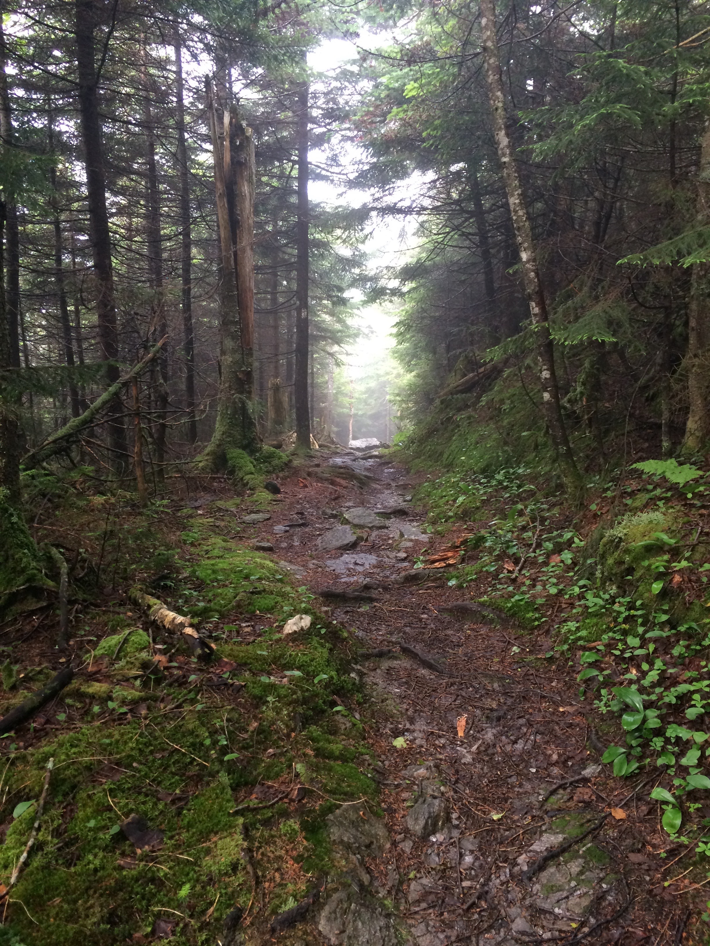
The Long Trail: VT Route 2 to Smugglers' Notch (Bolton Valley) ✓ Trusted
This strenuous 21.4-mile point-to-point follows a rugged northern section of the 272-mile Long Trail from Route 2 at Bolton Valley to Route 108 in Smugglers' No...
Faulkner Trail on Mount Tom ✓ Trusted
Marianne Faulkner created this trail more than 75 years ago as a place of quiet respite and healthy exercise. It leads to the South Peak of Mount Tom, where hik...
Mount Peg Park Trails ✓ Trusted
The Billings Park Commission manages Mount Peg Park and its trails, which connect through the Walk Woodstock network to the village center. Wooded paths and ope...
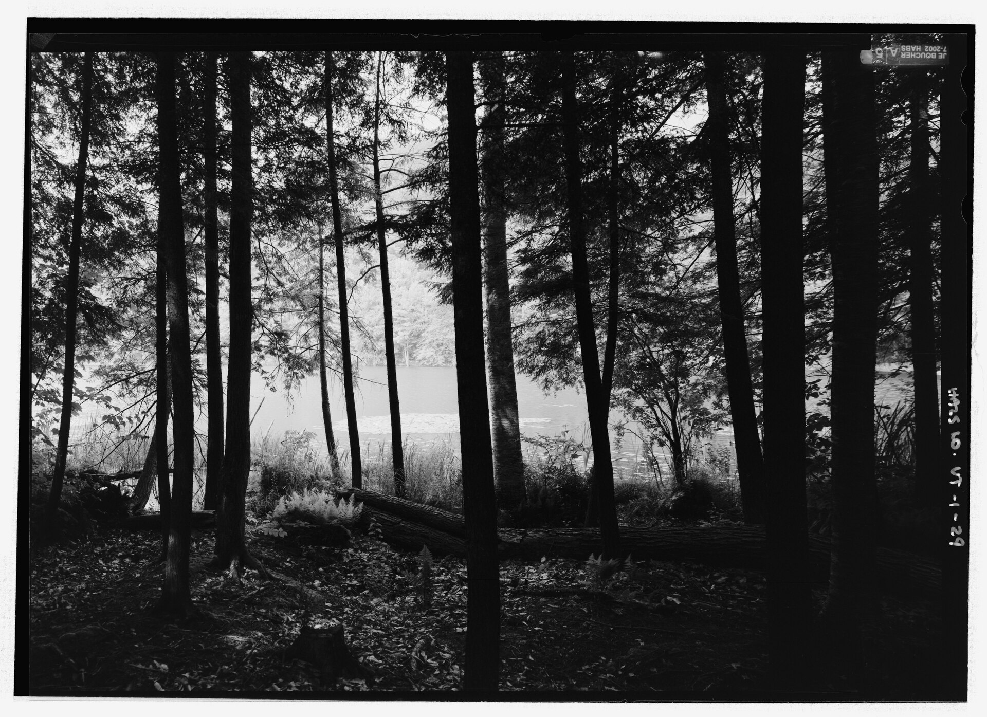
Pogue and South Peak Loop ✓ Trusted
The moderate 4.0-mile Pogue and South Peak Loop is one of the National Park Service's suggested hikes, circling the Pogue pond and climbing to a Woodstock-area ...
Amity Pond Natural Area (Pomfret) ✓ Trusted
Amity Pond's 2.7 miles of blue-blazed trails offer loops for every appetite: the easy Amity Pond Loop climbs wooden steps to a meadow bench with views of Ascutn...
Appalachian Trail: Cloudland Road to Stage Road (Pomfret) ✓ Trusted
This four-mile point-to-point Appalachian Trail stretch between Cloudland Road and Stage Road crosses DuPuis Hill, famed for splendid views the Green Mountain C...
Eshqua Bog Boardwalk ✓ Trusted
Eshqua Bog is a 40.8-acre fen preserve co-owned by The Nature Conservancy and the Native Plant Trust. A level boardwalk carries visitors through the wetland to ...
Eshqua Bog Natural Area (Hartland) ✓ Trusted
Eshqua Bog's one-mile trail leads to a fully accessible boardwalk crossing a rare post-glacial bog and fen, home to pitcher plants, cotton grass, larches, and h...
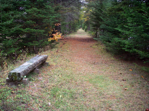
Cross Vermont Trail (Waterbury–Duxbury) ✓ Trusted
The Waterbury section of the Cross Vermont Trail follows tree-lined Main Street through the historic village, with the route signed along the sidewalk, then con...
Appalachian Trail: Pomfret Road to Cloudland Road (Pomfret) ✓ Trusted
Documented by the National Park Service, this Appalachian Trail segment runs from Pomfret Road to Cloudland Road with a steady climb to beautiful views atop Dup...
Waterbury Center State Park Trails ✓ Trusted
Waterbury Center State Park offers three trails, led by an accessible shoreline path, eight feet wide with a grade, rest spots, and views across the reservoir. ...
Barnes Camp Boardwalk and Loop (Smugglers' Notch) ✓ Trusted
Starting at the historic Barnes Camp near the top of the notch, this gentle route combines a universally accessible boardwalk with a 1.3-mile loop around wetlan...
Elephant's Head Side Trail (Smugglers' Notch) ✓ Trusted
This short spur leaves the Long Trail north of the notch and climbs to the top of the Elephant's Head rock formation, a stark landmark towering over Route 108. ...

Sterling Pond Trail (Smugglers' Notch) ✓ Trusted
A steep, rocky climb from the height of Smugglers' Notch leads to Sterling Pond, a quiet alpine tarn tucked between Spruce Peak and Madonna Peak. Blue blazes ma...
Spruce Peak via Sterling Pond Trail (Smugglers' Notch) ✓ Trusted
From the Smugglers' Notch Visitor Center, follow the Sterling Pond Trail upward, then continue to the summit of Spruce Peak for sweeping views across the northe...
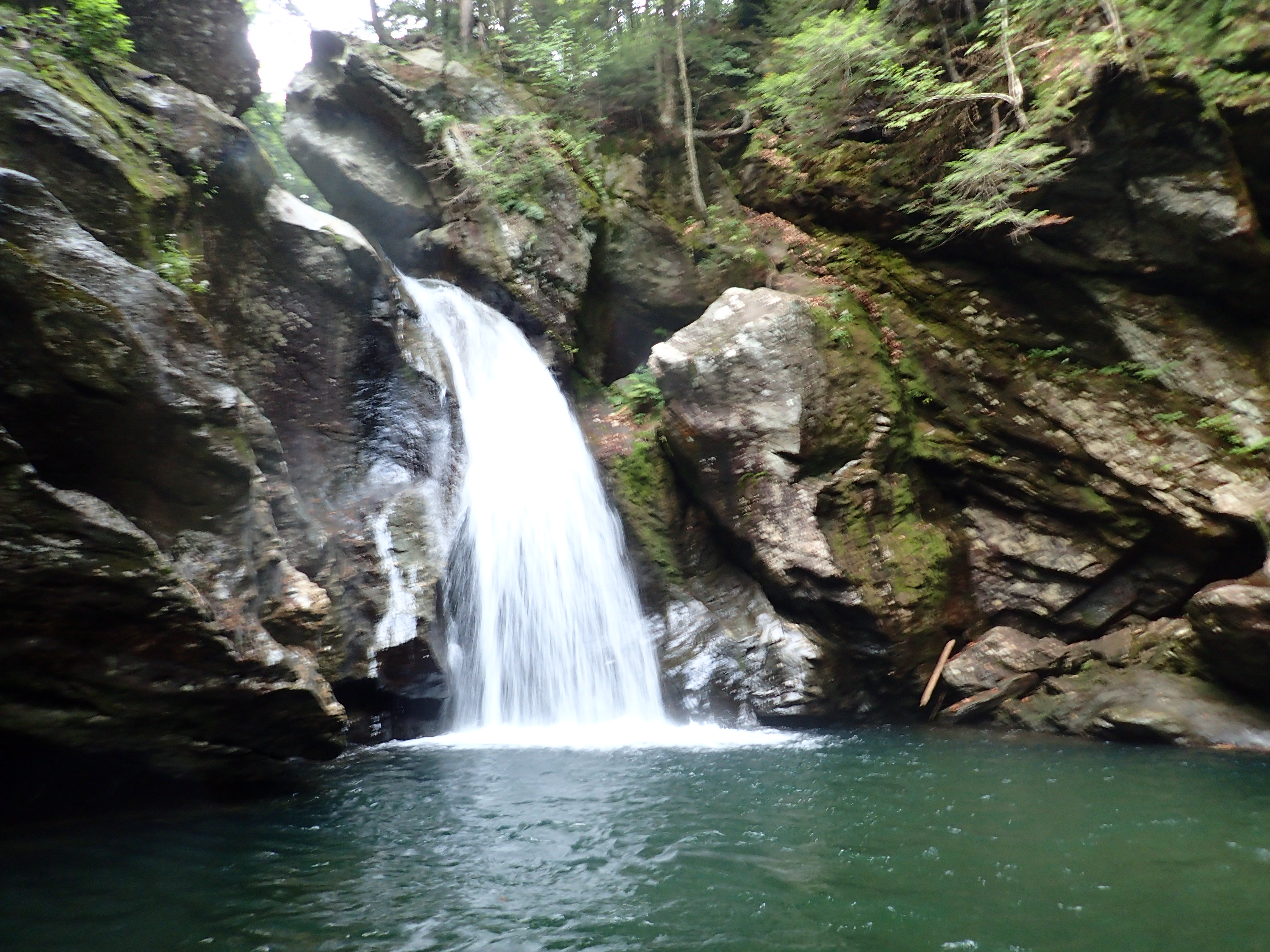
Mill Trail to Bingham Falls (Stowe) ✓ Trusted
An easy 1.1-mile walk through a conserved historic property leads to Bingham Falls, passing 1840s cellar holes and the site of the former Orlando Turner Saw Mil...
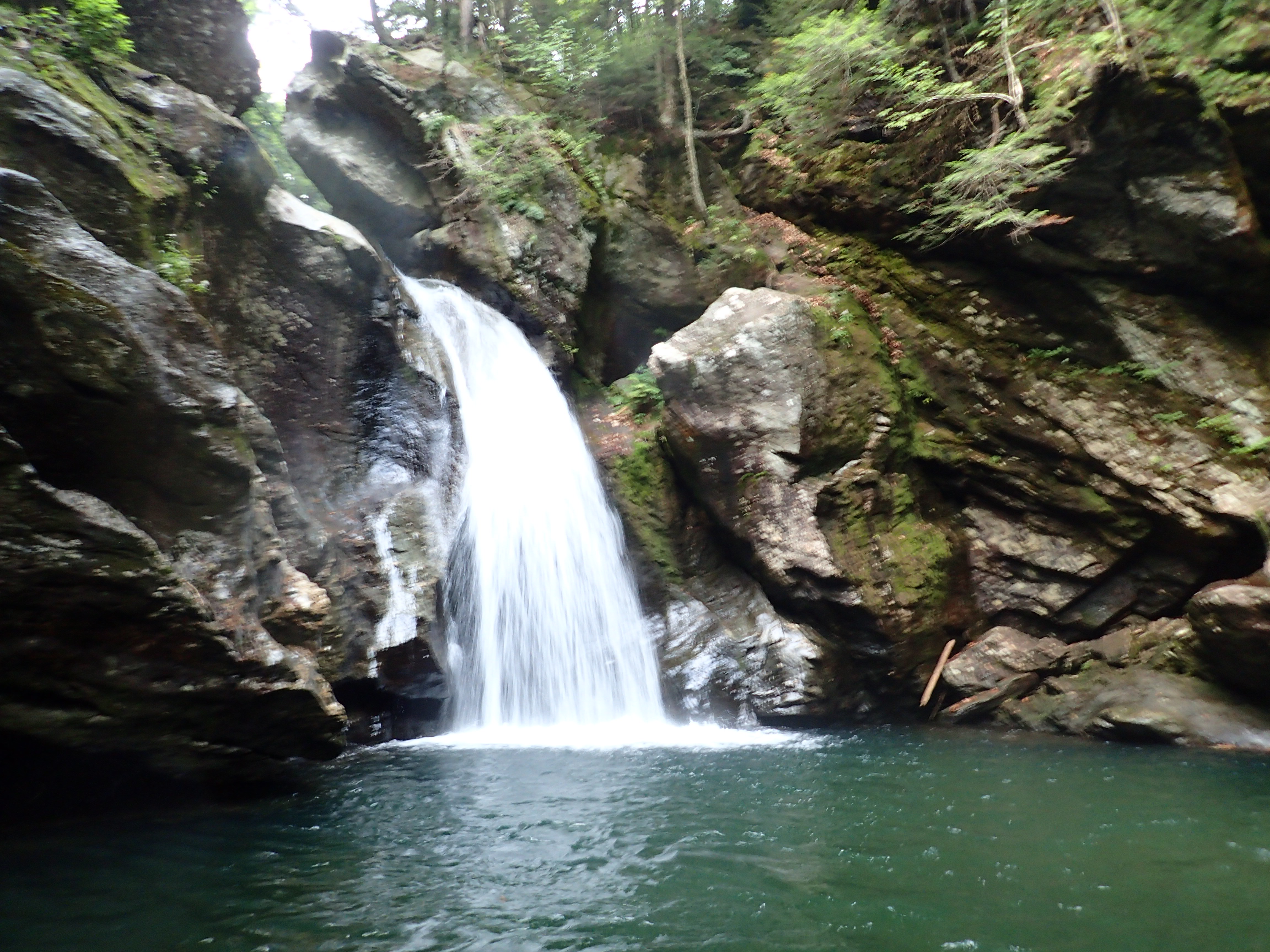
Bingham Falls Trail (Smugglers' Notch) ✓ Trusted
A short but rugged descent off Route 108 reaches Bingham Falls, where the West Branch of the Waterbury River squeezes through a narrow gorge with striking rock ...
Quechee Green Trail (Quechee) ✓ Trusted
This flat 0.7-mile loop circles Quechee Green Park between Main Street and the Ottauquechee River, pairing river views with village charm — the post office, lib...
VINS Forest Canopy Walk (Quechee) ✓ Trusted
The VINS Forest Canopy Walk carries visitors on an ADA-accessible boardwalk more than 100 feet above the forest floor as the land drops toward the Ottauquechee ...
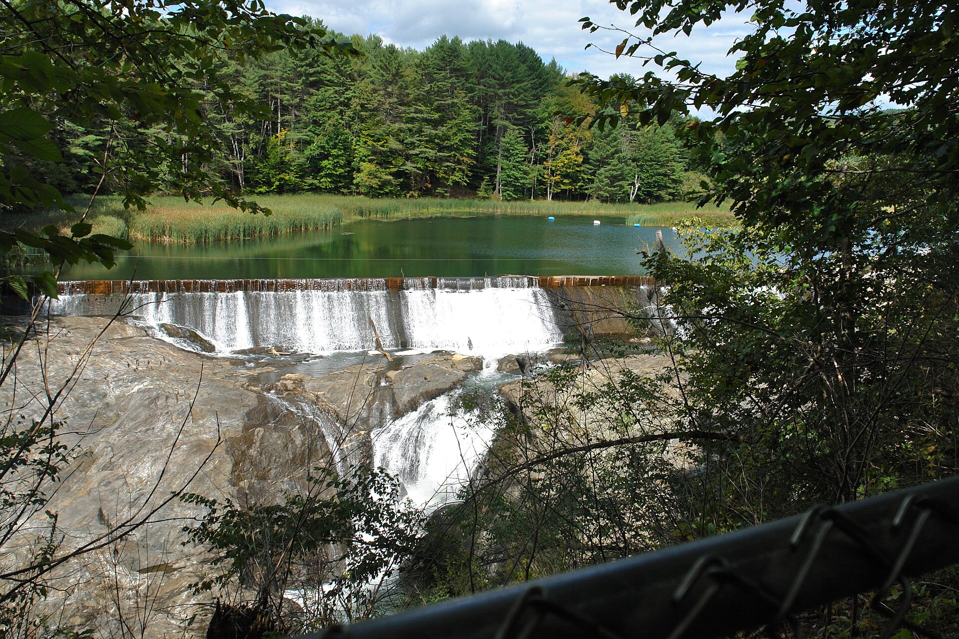
Quechee State Park Trails (Quechee) ✓ Trusted
The Quechee Gorge Trail starts at the Dewey Mills Pond boat landing, follows an earthen dike between the pond and the Ottauquechee River, then winds along the r...
Wiessner Woods Trails (Stowe) ✓ Trusted
Easy 2.1-mile trails wind through the mature hardwood and softwood forest of Wiessner Woods, crossing a small meadow from the parking area into hemlock, spruce,...
Mount Hunger via Waterbury Trail ✓ Trusted
The Waterbury Trail climbs through C.C. Putnam State Forest to the summit of Mount Hunger, turning to open rock that requires scrambling near the top. The most ...
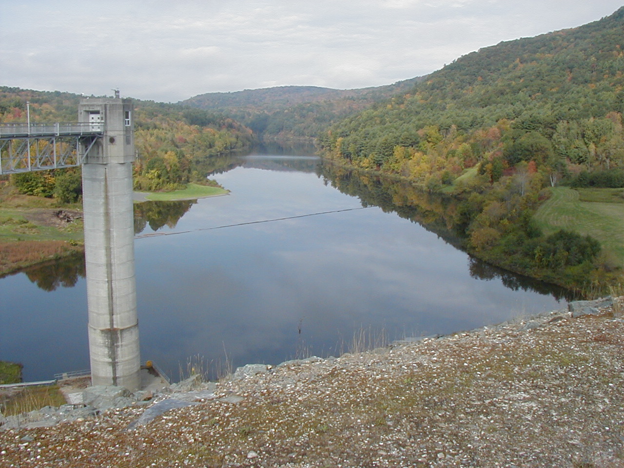
North Hartland Lake Nature Trail (Hartland) ✓ Trusted
This lollipop loop of just under a mile at North Hartland Lake is a birder's delight, with eagles, hawks, and owls among the regular sightings. The Army Corps r...
Hurricane Forest Wildlife Refuge Trails (Hartford) ✓ Trusted
Donated to Hartford in 1973, this 142-acre wildlife refuge honors its name with toppled old-growth white pines from the great 1938 hurricane still visible among...
Hartford Town Forest Trails (Hartford) ✓ Trusted
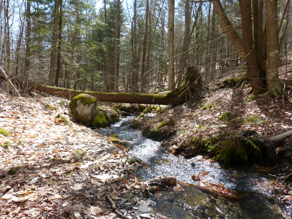
Hartford's 423-acre town forest mixes gentle paths like Moose Brook with the steep Pine Drop and the W.B. Brown Trail's meadow viewpoint over the Connecticut Ri...
Stowe Recreation Path (Stowe) ✓ Trusted
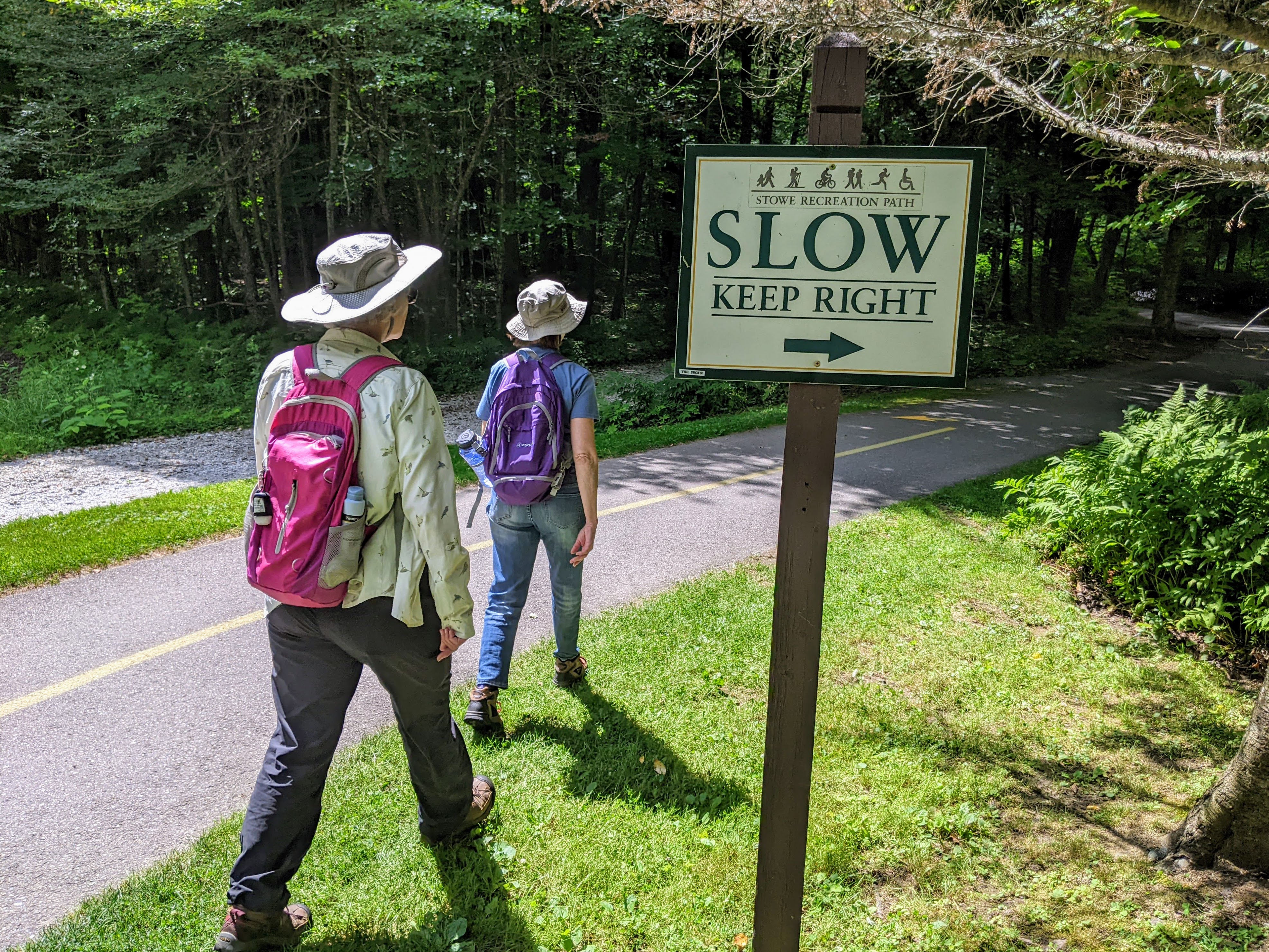
This internationally recognized 5.4-mile paved greenway links Stowe Village to Topnotch Resort, crisscrossing the West Branch of the Little River with mountain ...

Stowe Pinnacle Trail (Stowe) ✓ Trusted
Stowe's classic summit hike warms up on a gentle false-flat before a steep staircase-like climb to the Pinnacle's rocky top. At 3.5 miles and moderate difficult...
Moss Glen Falls Trail (Stowe) ✓ Trusted
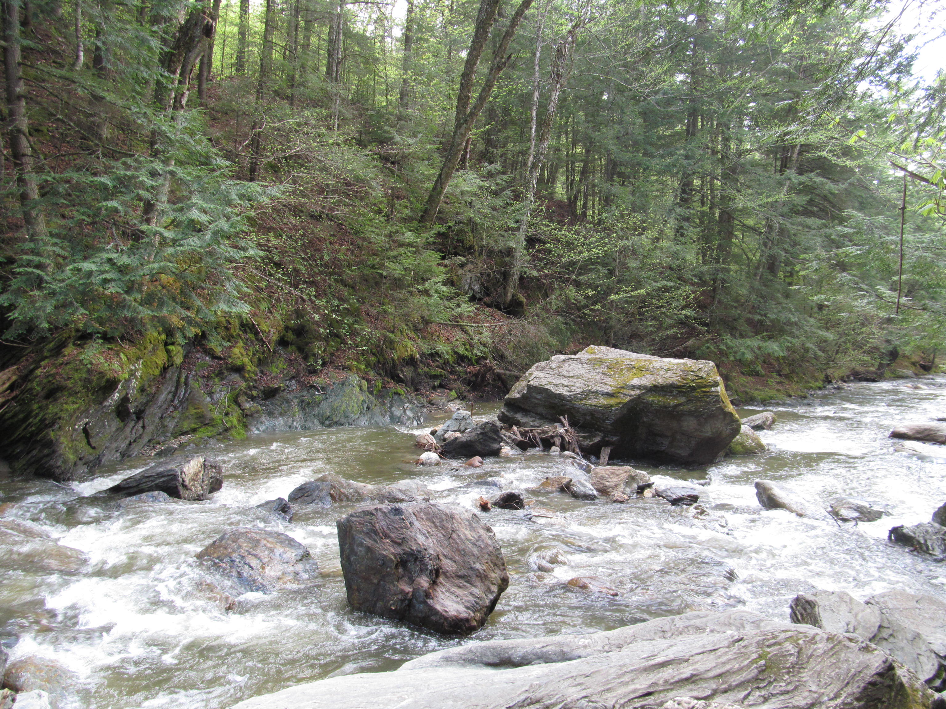
A short moderate trail leads a quarter mile to Moss Glen Falls, which cascades 125 feet through a gorge carved by Moss Glen Brook. Bog bridging crosses the wett...
Laraway Mountain ✓ Trusted
From the Codding Hollow trailhead, the Long Trail follows an old logging road before narrowing toward the ledges of Laraway Lookout, reached in just under two m...
Cricket Hill Trails ✓ Trusted
Hyde Park's Cricket Hill holds ten kilometers of trails that double as the training and competition grounds for local middle and high school cross-country and N...
Lamoille Valley Rail Trail ✓ Trusted
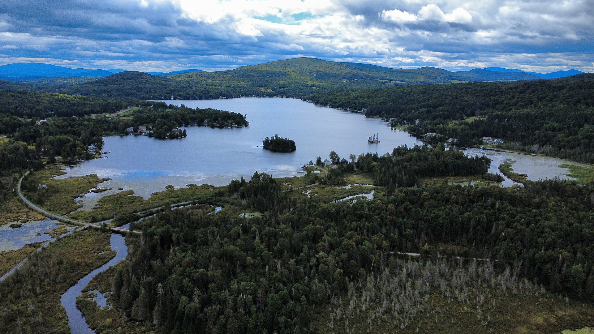
At 93 miles from St. Johnsbury to Swanton, this is the longest rail trail in New England, crossing eighteen Vermont communities on a ten-foot-wide crushed-stone...
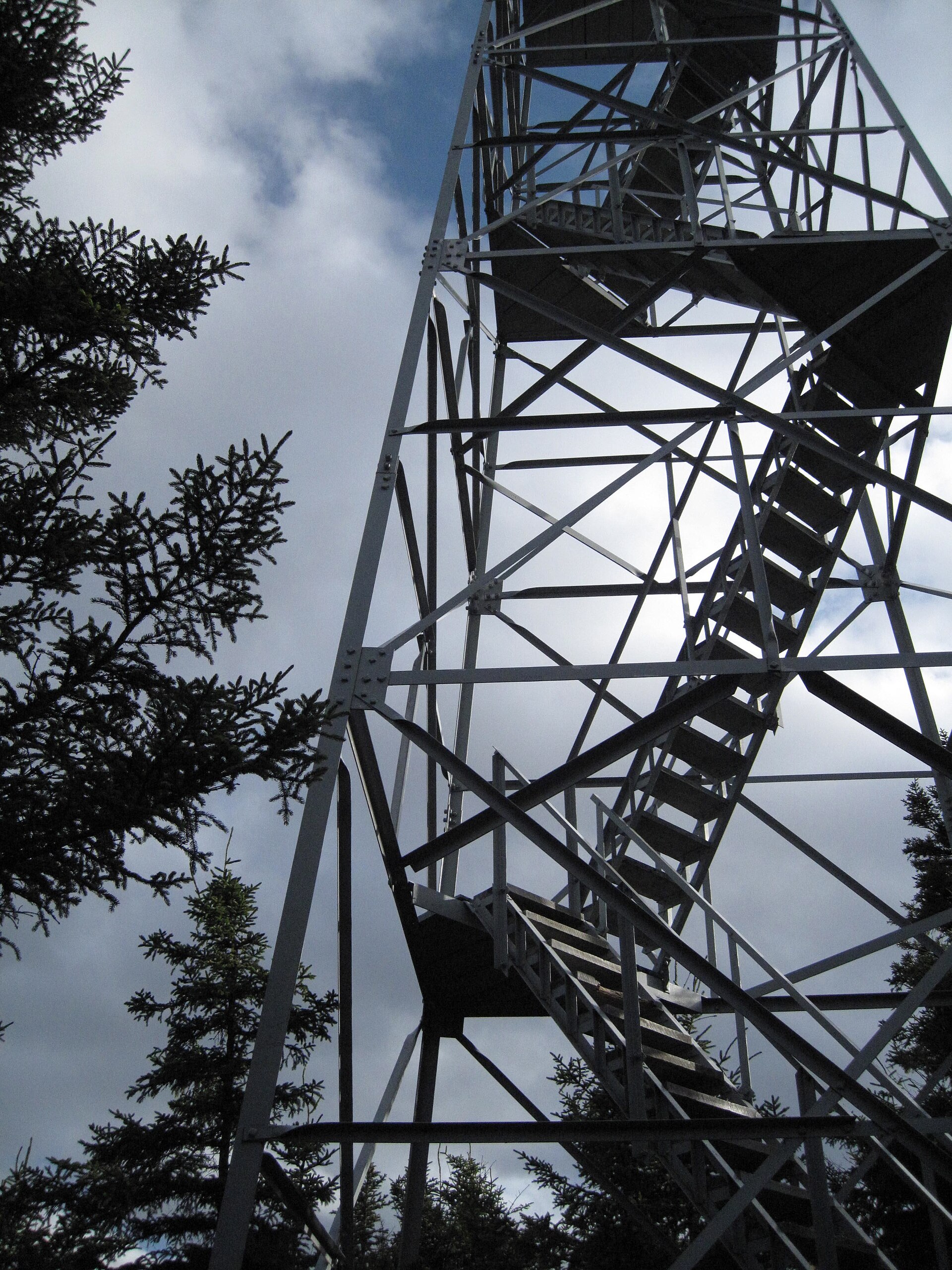
Fire Tower Trail (Elmore State Park) ✓ Trusted
Leaving the parking lot, this 1.7-mile trail climbs southeast up Elmore Mountain, passing a former cabin site on its way to the summit and its historic fire tow...
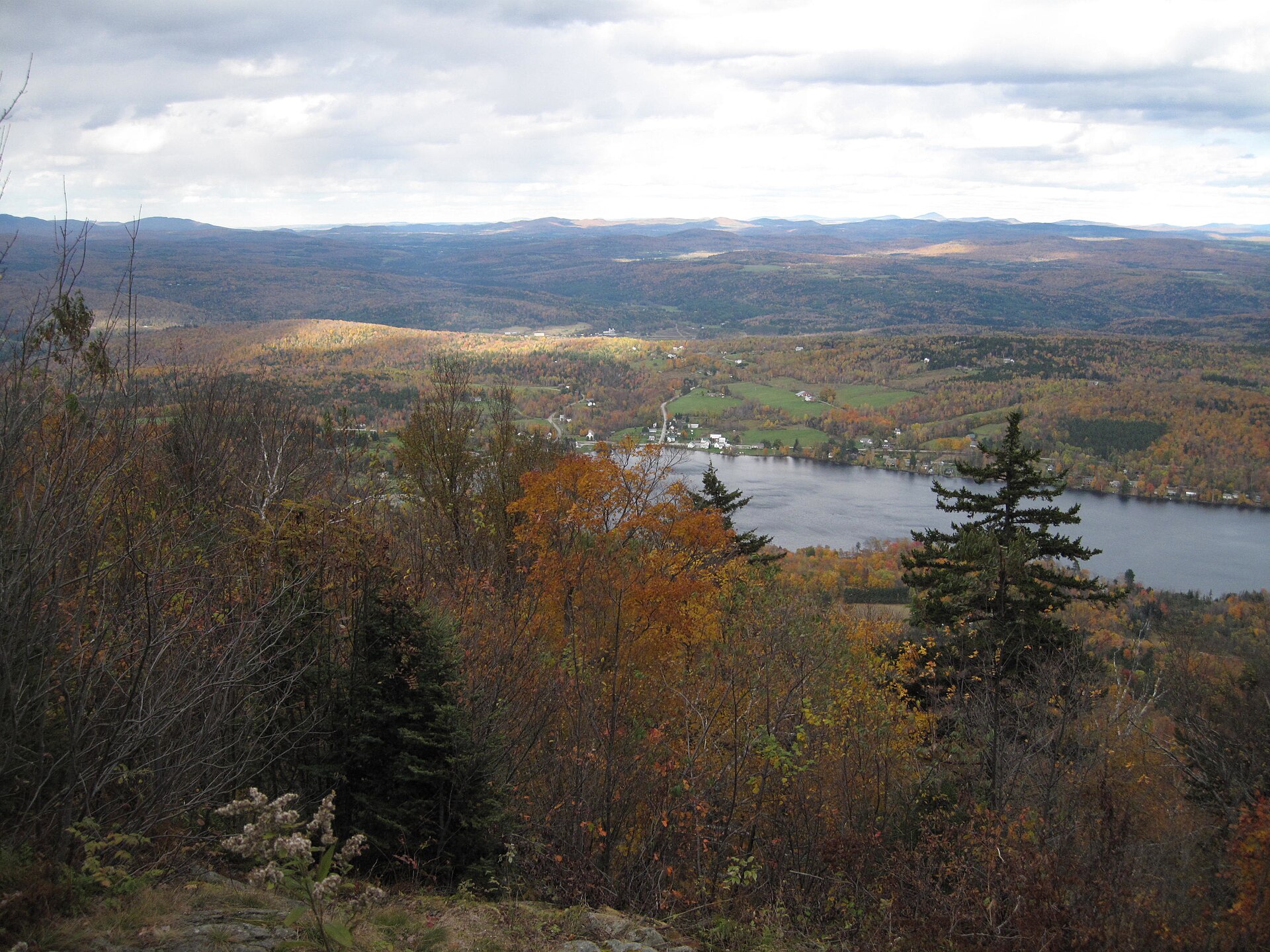
Ridge Trail (Elmore State Park) ✓ Trusted
This 2.3-mile trail leaves the parking lot, turns off to the right after 0.3 miles, and climbs east to a ridge it then follows south past Balancing Rock to the ...
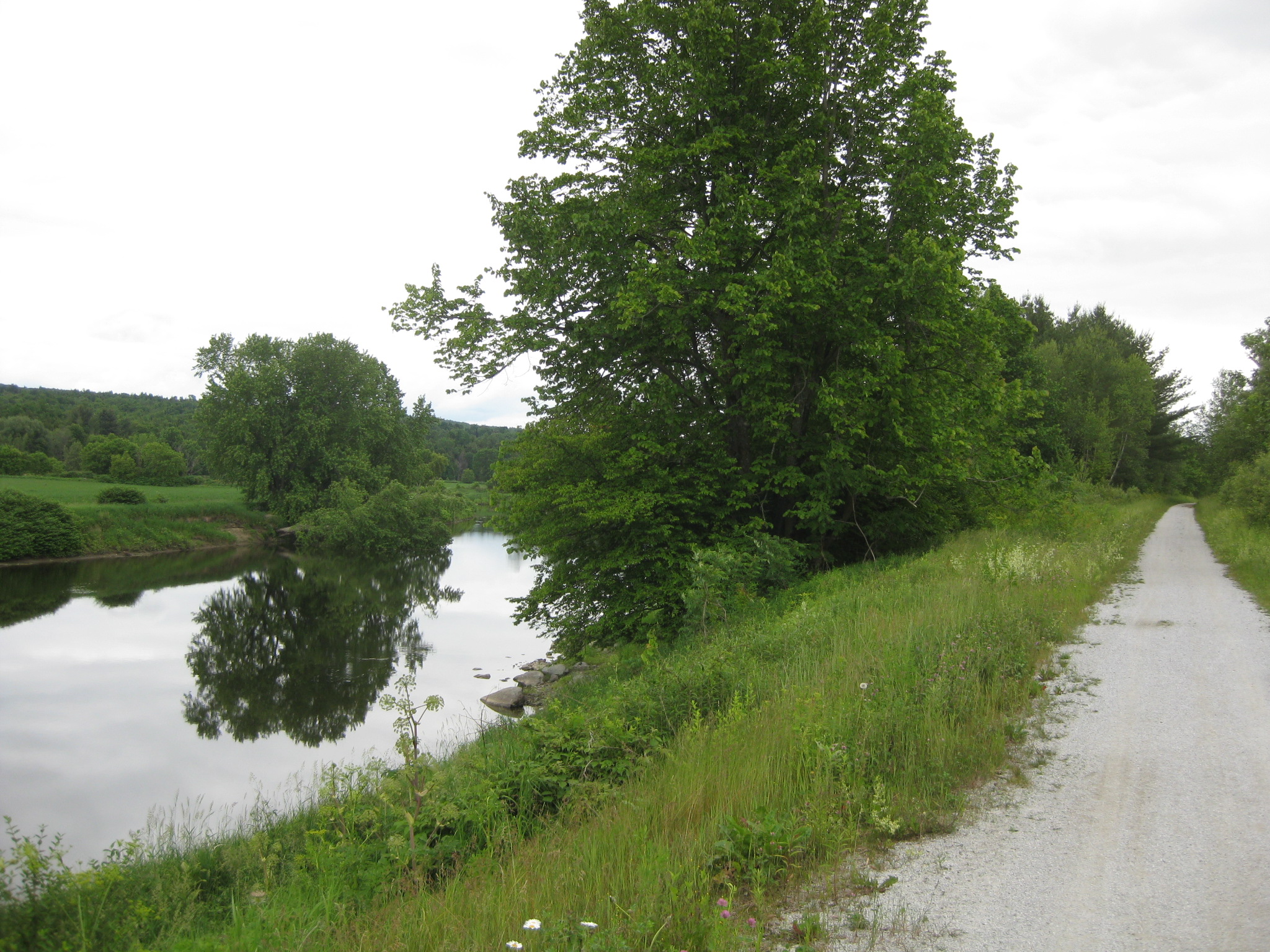
Missisquoi Valley Rail Trail (Richford) ✓ Trusted
Stretching 26.1 easy miles through northern Vermont's agricultural heartland, the Missisquoi Valley Rail Trail serves walkers, skiers, and riders on a gentle ra...
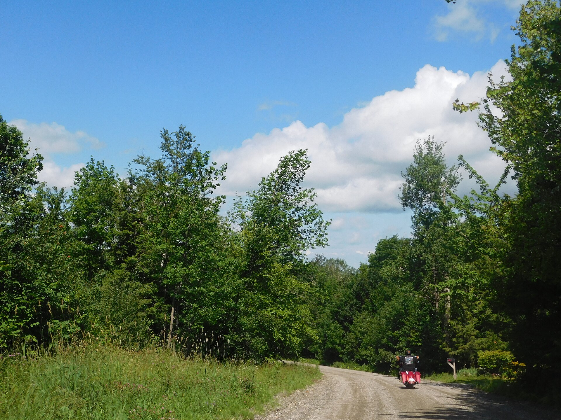
Hazen's Notch Association Trails (Montgomery) ✓ Trusted
Fifteen miles of trails cross meadows, forests, orchards, and beaver ponds in Montgomery, maintained by the Hazen's Notch Association on private conservation la...
Glen Falls at Fairlee Forest ✓ Trusted
A short, easy walk up Glen Falls Brook leads to an 80-foot cascade that has drawn Fairlee hikers for more than a century. Park at the Cross Rivendell trail lot ...
Palisades Trail at Fairlee Forest ✓ Trusted
The 1.1-mile Palisades Trail climbs about 400 feet through Fairlee Forest to dramatic cliff-top views over Lake Morey and the surrounding hills. Follow the yell...
Sawyer Mountain Trail at Fairlee Forest ✓ Trusted
This two-mile Fairlee Forest hike gains 482 feet to a cleared summit with sweeping views up and down the Connecticut River and across to New Hampshire. Start at...
Wright's Mountain Trail ✓ Trusted
Bradford's highest peak, at 1,822 feet, rewards hikers with a rustic cabin shelter and year-round views from the summit. The Wrights Mountain Road trailhead is ...
Devil's Den at Wright's Mountain ✓ Trusted
A boulder-strewn ravine and shallow caves form Devil's Den, the most unusual stop in the Wright's Mountain trail network. Bring a flashlight to explore the cave...
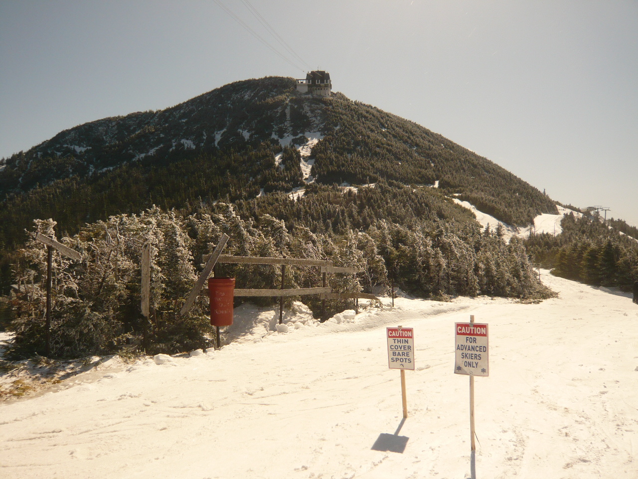
Jay Peak via Long Trail (Jay Peak) ✓ Trusted
Vermont's northernmost high peak rises just 1.7 miles from the VT-242 trailhead, but the Long Trail's steep, rigorous climb earns its advanced rating. Jay Peak'...
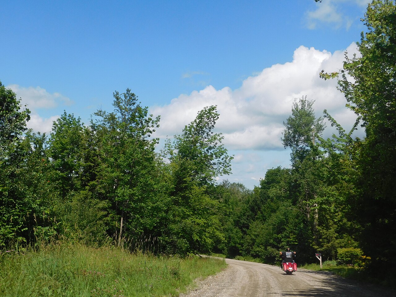
Hazen's Notch and Haystack Mountain via the Long Trail
the Long Trail crosses Route 58 at the height of land in Hazen's Notch State Park; climb south about 3.5 miles round trip to the summit of Haystack Mountain, a ...
Jay Community Recreational Centre Trails (Jay) ✓ Trusted
On Cross Road in Jay, this community forest offers over 16 free, well-marked miles across 240-plus acres for hiking, biking, skiing, and snowshoeing. With a gaz...
Journey's End Trail (Long Trail Northern Terminus) ✓ Trusted
This easy 1.3-mile side trail follows an abandoned woods road past boulders, the old Journey's End Camp clearing, and a sizable brook to the USA-Canada border s...
Lyndon State Forest Trails ✓ Trusted
Hand-built singletrack loops through Lyndon State Forest, designed for mountain biking but open to hikers as well. Expect tight turns, quick downhills, and bump...
Permit Trail at Lyndon State Forest ✓ Trusted
Permit is the 1.8-mile perimeter trail circling Lyndon State Forest, making it the backbone of the whole network. Other named loops branch off it, so hikers can...
Mossland Trail at Lyndon State Forest ✓ Trusted
Mossland is a fun intermediate loop branching off the Permit perimeter trail at Lyndon State Forest. Built for mountain biking yet welcoming to hikers, it winds...
Hemlocks Trail at Lyndon State Forest ✓ Trusted
Hemlocks drops down a steeper gully and suits more experienced hikers and riders than the easier loops. It branches off the Permit perimeter at Lyndon State For...
Phloem Trail at Lyndon State Forest ✓ Trusted
Phloem is the easiest trail at Lyndon State Forest, looping gently inside the bigger perimeter routes. Hikers looking for a mellow woods walk will find it the l...
Moose Alley and Deuce Loop (East Burke) ✓ Trusted
This 4.1-mile loop through the Kingdom Trails network near East Burke pairs moderate climbing — about 728 feet of gain — with flowing singletrack shared by hike...
Dashney Trail Loop (East Burke) ✓ Trusted
An easy 1.9-mile loop near East Burke, the Dashney Trail winds through woods and around big open fields with only about 200 feet of climbing. It is a fine pick ...
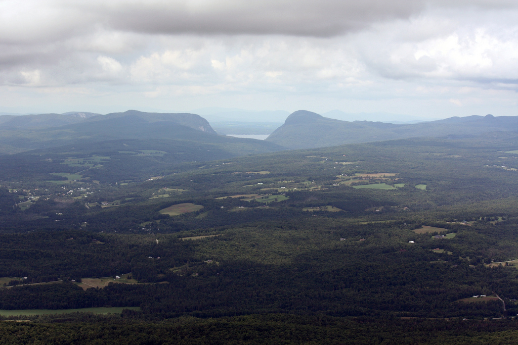
Burke Mountain Red and Blue Trail (Burke Mountain) ✓ Trusted
This demanding 5.7-mile out-and-back climbs more than 2,100 feet up Burke Mountain to the historic fire tower at the summit. Fallen leaves can hide the tread in...
West Pointe Trail (Burke Mountain) ✓ Trusted
A challenging 3.5-mile out-and-back near East Burke, the West Pointe Trail gains about 1,266 feet through northern hardwood forest. It is a favorite for birders...
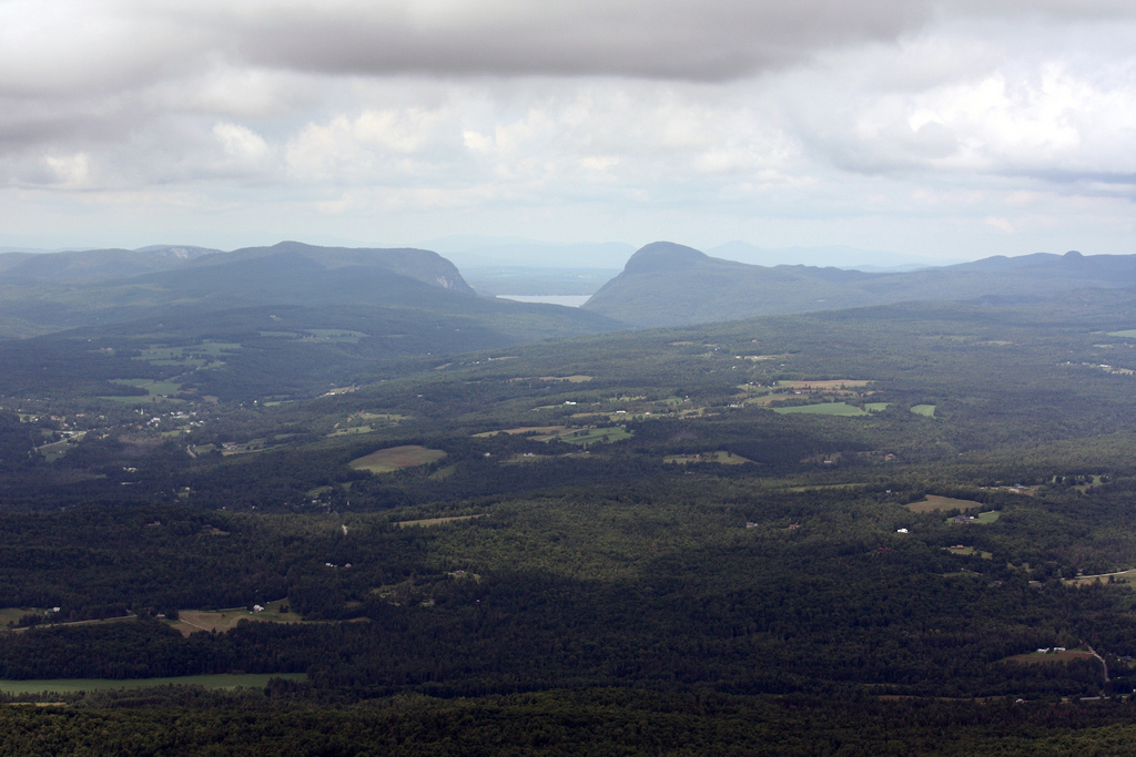
Burke Mountain Overlook (Burke Mountain) ✓ Trusted
For a huge view with almost no effort, walk the paved Toll Road to the Burke Mountain Overlook. The route is just two-tenths of a mile, though it climbs steeply...
Looking elsewhere? ← Pick another destination